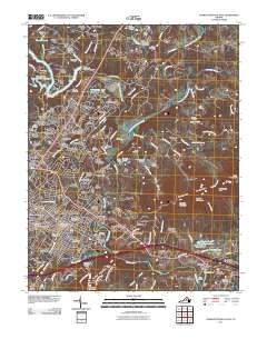
2011 Map of Charlottesville East
USGS Topo · Published 2011About this map
University of Virginia stands as a central anchor in this detailed survey, illustrating the modern footprint of the campus alongside the historic neighborhoods of Vinegar Hill and Belmont. The landscape is defined by the convergence of the South Fork Rivanna River and the North Fork Rivanna River, which meet to form the Rivanna River. These waterways are flanked by storied crossing points like Free Bridge and the historic Secretarys Ford.
Find a feature on this map
168 named features on this map. Tap any name to fly to it.
Don’t see what you’re looking for? This feature index may not catch every label — zoom into the map to look around manually.
Map Details
Editions of this 2011 Charlottesville East Map
This is the sole edition of this map. No revisions or reprints were ever made.
Other maps of this area

1891 · Palmyra
USGS Topo · 1:125,000

1892 · Buckingham
USGS Topo · 1:125,000

1892 · Gordonsville
USGS Topo · 1:125,000

1892 · Harrisonburg
USGS Topo · 1:125,000

1895 · Palmyra
USGS Topo · 1:125,000

1897 · Palmyra
USGS Topo · 1:125,000

1929 · Covesville
USGS Topo · 1:62,500

1931 · University
USGS Topo · 1:62,500

1935 · Charlottesville
USGS Topo · 1:62,500

1935 · Charlottesville And Vicinity
USGS Topo · 1:31,680