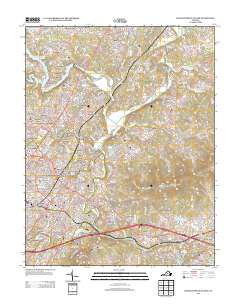
2013 Map of Charlottesville East
USGS Topo · Published 2013About this map
The Rivanna River and its major tributaries, the N Fork Rivanna River and S Fork Rivanna River, define the landscape east of the city. This 2013 survey shows the suburban expansion around Rio and Hydraulic, where residential developments like Dunlora Plantation and Templeton Acres have replaced earlier agrarian tracts. The convergence of Us 29 and Us 250 anchors the transportation network, highlighting the area's continued growth as a regional hub.
Find a feature on this map
100 named features on this map. Tap any name to fly to it.
Don’t see what you’re looking for? This feature index may not catch every label — zoom into the map to look around manually.
Map Details
Editions of this 2013 Charlottesville East Map
This is the sole edition of this map. No revisions or reprints were ever made.
Other maps of this area

1891 · Palmyra
USGS Topo · 1:125,000

1892 · Buckingham
USGS Topo · 1:125,000

1892 · Gordonsville
USGS Topo · 1:125,000

1892 · Harrisonburg
USGS Topo · 1:125,000

1895 · Palmyra
USGS Topo · 1:125,000

1897 · Palmyra
USGS Topo · 1:125,000

1929 · Covesville
USGS Topo · 1:62,500

1931 · University
USGS Topo · 1:62,500

1935 · Charlottesville
USGS Topo · 1:62,500

1935 · Charlottesville And Vicinity
USGS Topo · 1:31,680