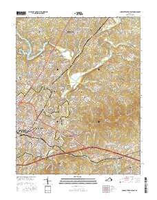
2016 Map of Charlottesville East
USGS Topo · Published 2016About this map
University of Virginia anchors the western edge of this landscape, where the urban grid of Charlottesville meets the rising terrain of the southwest mountains. The map documents a significant concentration of commemorative and ancestral sites, including the Jefferson Tomb and Monticello Graveyard near Carters Mtn, alongside numerous urban burial grounds such as Maplewood Cem and Oakwood Cem. The drainage patterns of the Rivanna River and its forks define the topography, with settlements like Pantops and Shadwell situated at key river crossings and high points. This 2016 record shows the modern expansion of neighborhoods like Hollymead and Northfields north of the city, while preserving the location of established landmarks like Piedmont Virginia Community Coll and the route of the Chesapeake & Ohio RR as it follows the river valley east toward Milton.
Find a feature on this map
243 named features on this map. Tap any name to fly to it.
Don’t see what you’re looking for? This feature index may not catch every label — zoom into the map to look around manually.
Map Details
Editions of this 2016 Charlottesville East Map
This is the sole edition of this map. No revisions or reprints were ever made.
Other maps of this area

1891 · Palmyra
USGS Topo · 1:125,000

1892 · Buckingham
USGS Topo · 1:125,000

1892 · Gordonsville
USGS Topo · 1:125,000

1892 · Harrisonburg
USGS Topo · 1:125,000

1895 · Palmyra
USGS Topo · 1:125,000

1897 · Palmyra
USGS Topo · 1:125,000

1929 · Covesville
USGS Topo · 1:62,500

1931 · University
USGS Topo · 1:62,500

1935 · Charlottesville
USGS Topo · 1:62,500

1935 · Charlottesville And Vicinity
USGS Topo · 1:31,680