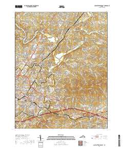
2019 Map of Charlottesville East
USGS Topo · Published 2019About this map
The South Fork Rivanna River and North Fork Rivanna River converge north of Charlottesville, forming the Rivanna River as it winds past the historic core of Albemarle County. This landscape is defined by the elevation of Carters Mtn and Wolfpit Mtn overlooking the developing eastern corridors of the city. Notable for its dense cluster of civic and commemorative sites, the area includes the Jefferson Tomb and various long-established burial grounds such as Oakwood Cem and Maplewood Cem.
Find a feature on this map
286 named features on this map. Tap any name to fly to it.
Don’t see what you’re looking for? This feature index may not catch every label — zoom into the map to look around manually.
Map Details
Editions of this 2019 Charlottesville East Map
This is the sole edition of this map. No revisions or reprints were ever made.
Other maps of this area

1891 · Palmyra
USGS Topo · 1:125,000

1892 · Buckingham
USGS Topo · 1:125,000

1892 · Gordonsville
USGS Topo · 1:125,000

1892 · Harrisonburg
USGS Topo · 1:125,000

1895 · Palmyra
USGS Topo · 1:125,000

1897 · Palmyra
USGS Topo · 1:125,000

1929 · Covesville
USGS Topo · 1:62,500

1931 · University
USGS Topo · 1:62,500

1935 · Charlottesville
USGS Topo · 1:62,500

1935 · Charlottesville And Vicinity
USGS Topo · 1:31,680