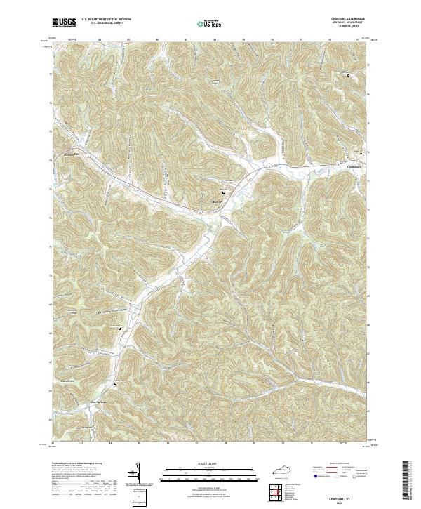
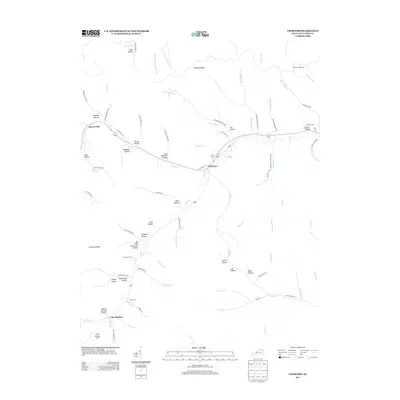
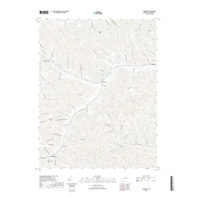
2022 Map of Charters
USGS Topo · Published 2022About this map
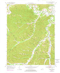
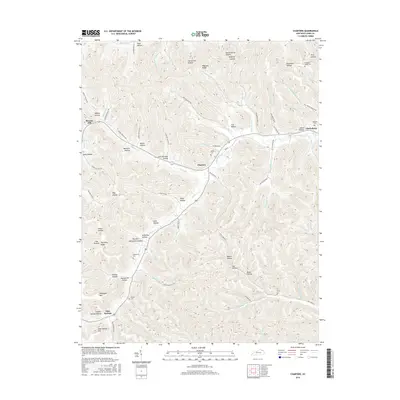
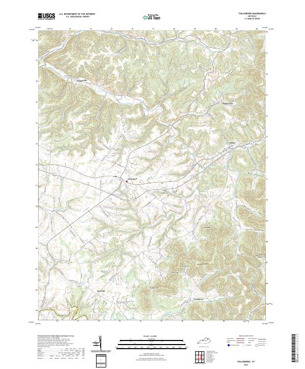
Charters and Glen Springs anchor this portion of the Lewis County landscape, where the deeply dissected plateau of the Kentucky Ridge dictates the layout of modern roads and historic homesteads. The terrain is defined by a dense network of hollows, many carrying family names like Hackworth Hollow and Manley Hollow, while the major drainage of Salt Lick Creek carves a winding path through the central valley. Genealogists will find a wealth of local markers, including the McCoy Cem near Eskalapia Mtn and the Valley Cem situated along the corridor of Old Rte 10. The map illustrates a rural Kentucky economy still closely tied to its topography, where settlements like Clarksburg are tucked into narrow valley floors between steep ridges. These landform patterns reveal the challenges of early transit and the enduring locations of family cemeteries like Pleasant Ridge Cem on higher ground.
Find a feature on this map
94 named features on this map. Tap any name to fly to it.
Don’t see what you’re looking for? This feature index may not catch every label — zoom into the map to look around manually.
Map Details
Editions of this 2022 Charters Map
This is the sole edition of this map. No revisions or reprints were ever made.
Historical Maps of Glen Springs Through Time
34 maps found
1929 Springdale
Lewis County, KY

1935 Springdale
Lewis County, KY
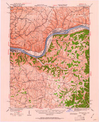
1949 Charters
Lewis County, KY
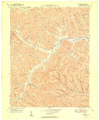
1950 Charters
Lewis County, KY
1950 Head of Grassy
Lewis County, KY

1951 Stricklett
Lewis County, KY
1952 Manchester Islands
Lewis County, KY
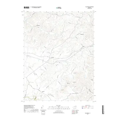
1953 Tollesboro
Lewis County, KY
1961 Manchester Islands
Lewis County, KY
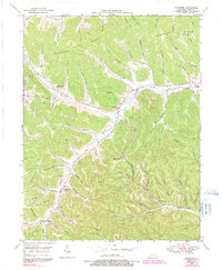
2010 Charters
Lewis County, KY

2010 Head of Grassy
Lewis County, KY
2010 Manchester Islands
Lewis County, KY
2010 Tollesboro
Lewis County, KY
2011 Stricklett
Lewis County, KY
2013 Charters
Lewis County, KY

2013 Head of Grassy
Lewis County, KY
2013 Manchester Islands
Lewis County, KY
2013 Stricklett
Lewis County, KY
2013 Tollesboro
Lewis County, KY
2016 Charters
Lewis County, KY

2016 Head of Grassy
Lewis County, KY
2016 Manchester Islands
Lewis County, KY
2016 Stricklett
Lewis County, KY
2016 Tollesboro
Lewis County, KY
2019 Charters
Lewis County, KY
2019 Head of Grassy
Lewis County, KY
2019 Manchester Islands
Lewis County, KY
2019 Stricklett
Lewis County, KY
2019 Tollesboro
Lewis County, KY
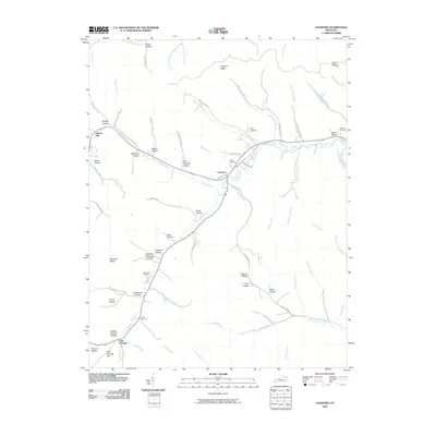
2022 Charters
Lewis County, KY
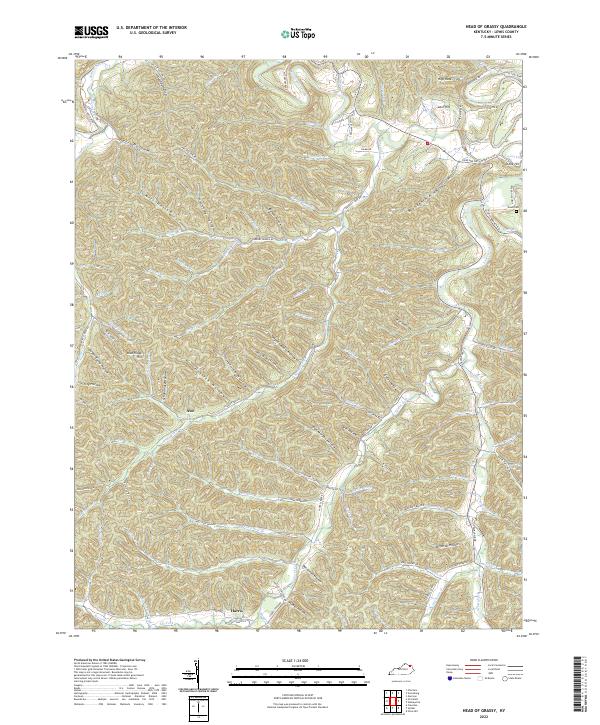
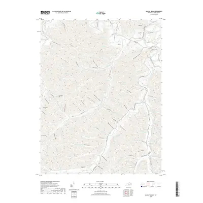
2022 Head of Grassy
Lewis County, KY
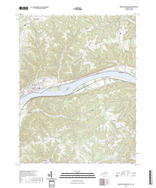
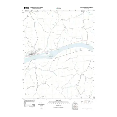
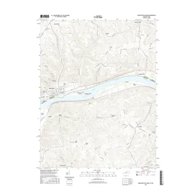
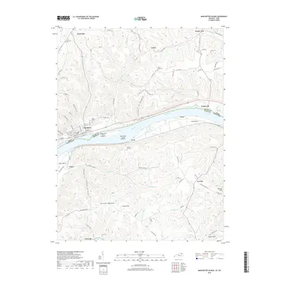
2022 Manchester Islands
Lewis County, KY
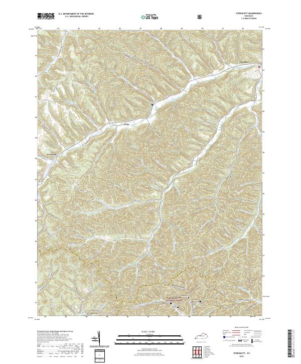
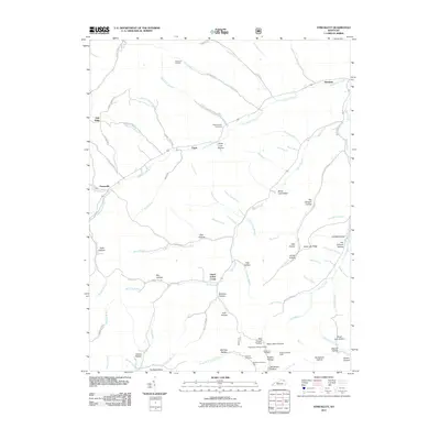
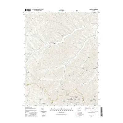
2022 Stricklett
Lewis County, KY
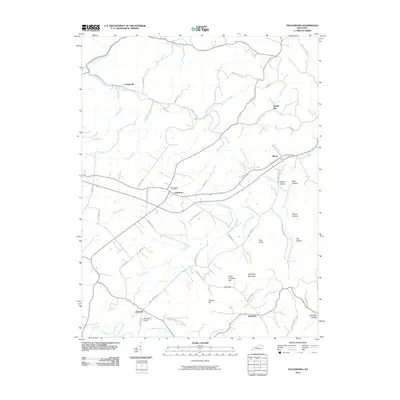
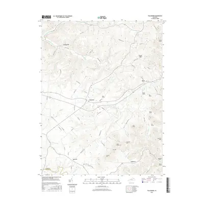
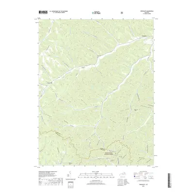
2022 Tollesboro
Lewis County, KY