
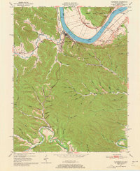
1949 Map of Vanceburg
USGS Topo · Published 1964About this map
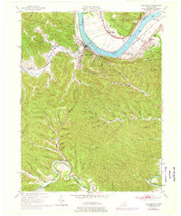
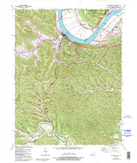
The town of Vanceburg sits at a prominent bend in the Ohio River, serving as a focal point for this 1949 survey of Lewis County. The landscape is defined by deep hollows and narrow ridges, where small settlements like Kinniconick and Clarksburg are tucked away along watercourses like Salt Lick Creek and the winding Kinniconick Creek. The Chesapeake and Ohio railroad follows the riverbank, connecting riverfront commerce to regional markets.
Find a feature on this map
83 named features on this map. Tap any name to fly to it.
Don’t see what you’re looking for? This feature index may not catch every label — zoom into the map to look around manually.
Map Details
Editions of this 1949 Vanceburg Map
4 editions found
Other maps of this area

1915 · Garrison
USGS Topo · 1:62,500

1918 · Garrison
USGS Topo · 1:62,500

1919 · Vanceburg
USGS Topo · 1:62,500

1949 · Pond Run
USGS Topo · 1:24,000

1949 · Vanceburg
USGS Topo · 1:62,500

1949 · Garrison
USGS Topo · 1:24,000

1949 · Buena Vista
USGS Topo · 1:24,000

1949 · Concord
USGS Topo · 1:24,000

1949 · Charters
USGS Topo · 1:24,000

1950 · Charters
USGS Topo · 1:24,000