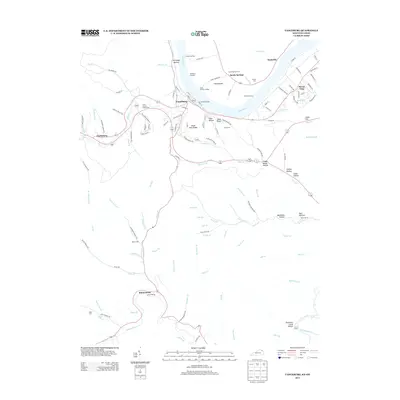
1949 Map of Vanceburg
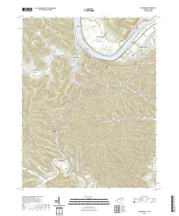
USGS Topo · Published 1995About this map
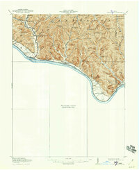
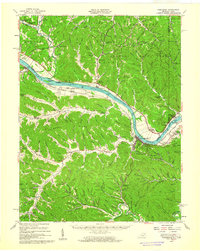
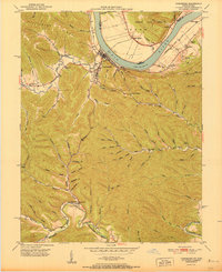
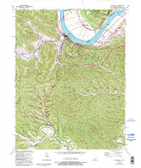
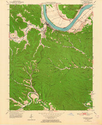
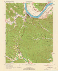
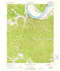
Vanceburg serves as the focal point of this mid-century riverfront study, situated at a sharp bend in the Ohio River where the Chesapeake and Ohio railroad tracks follow the southern bank. The town's layout includes the County Fairgrounds, while the surrounding landscape is defined by the steep ridges and narrow hollows of the Cumberland Plateau. To the west, Salt Lick Creek carves through the terrain near Clarksburg, while the southern portion of the map is dominated by the winding course of Kinniconick Creek. Cultural landmarks such as Evans Chapel and Holly Hill Ch are tucked into the valleys alongside numerous family-named branches like Thomas Branch and Schoolhouse Br. Across the river in Ohio, the Shawnee State Forest and the settlement of Sandy Springs mark the transition into Adams County, illustrating the cross-river connections of the era.
Find a feature on this map
75 named features on this map. Tap any name to fly to it.
Don’t see what you’re looking for? This feature index may not catch every label — zoom into the map to look around manually.
Map Details
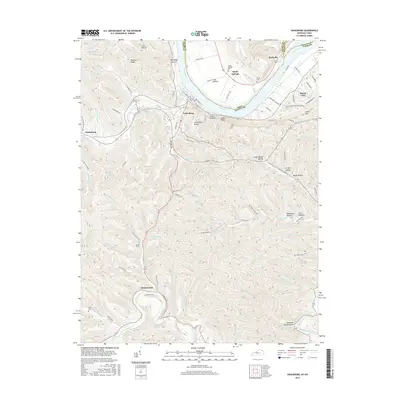
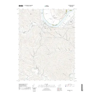
Editions of this 1949 Vanceburg Map
4 editions found
Historical Maps of Vanceburg Through Time
9 maps found