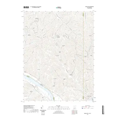
1949 Map of Buena Vista
USGS Topo · Published 1964About this map
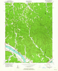
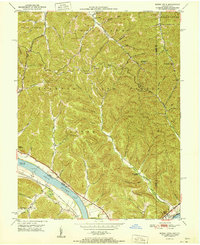
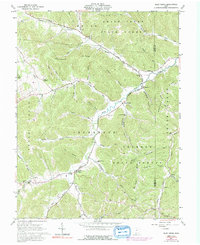
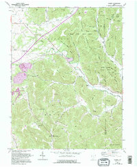
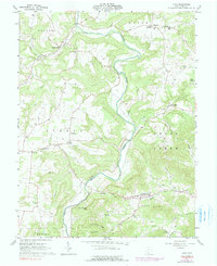
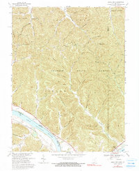
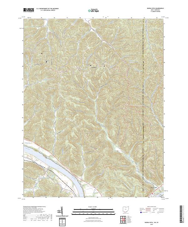
The Ohio River serves as the dominant geographic and commercial artery in this mid-century survey of the borderlands between Ohio and Kentucky. The river corridor is defined by vital infrastructure, including Dam No 32 and the Chesapeake and Ohio railroad line running along the Kentucky shore near Aills Chapel. While the riverfront supports the primary transportation network, the surrounding uplands are characterized by dense woodland management across several preserves, including Shawnee State Forest and Nile State Forest.
Find a feature on this map
70 named features on this map. Tap any name to fly to it.
Don’t see what you’re looking for? This feature index may not catch every label — zoom into the map to look around manually.
Map Details
Editions of this 1949 Buena Vista Map
This is the sole edition of this map. No revisions or reprints were ever made.
Historical Maps of Buena Vista Through Time
32 maps found
1949 Buena Vista
Adams County, OH
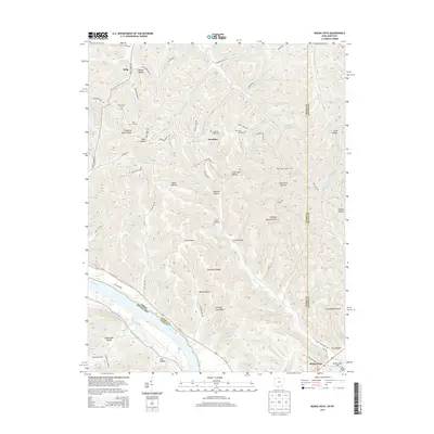
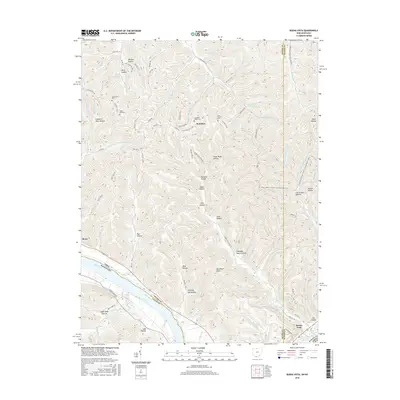
1951 Buena Vista
Adams County, OH
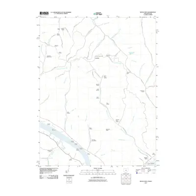
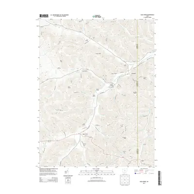
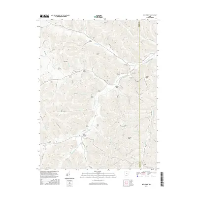
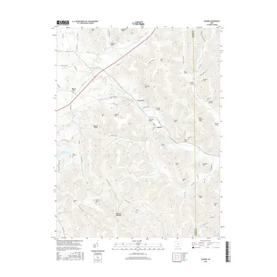
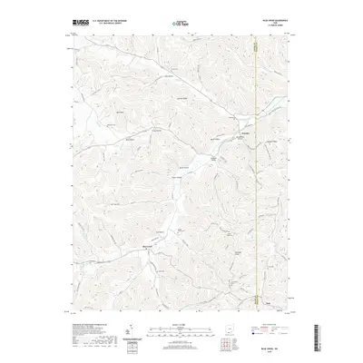
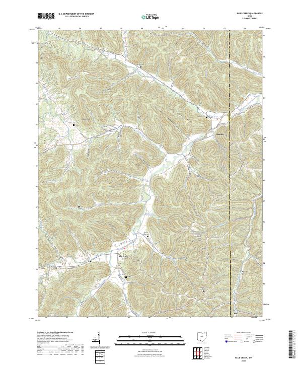
1961 Blue Creek
Adams County, OH
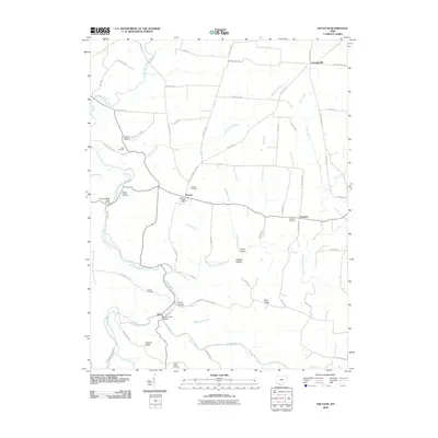
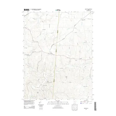
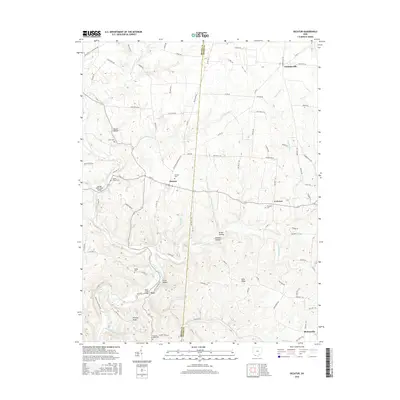
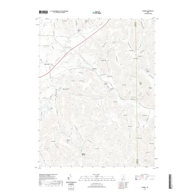
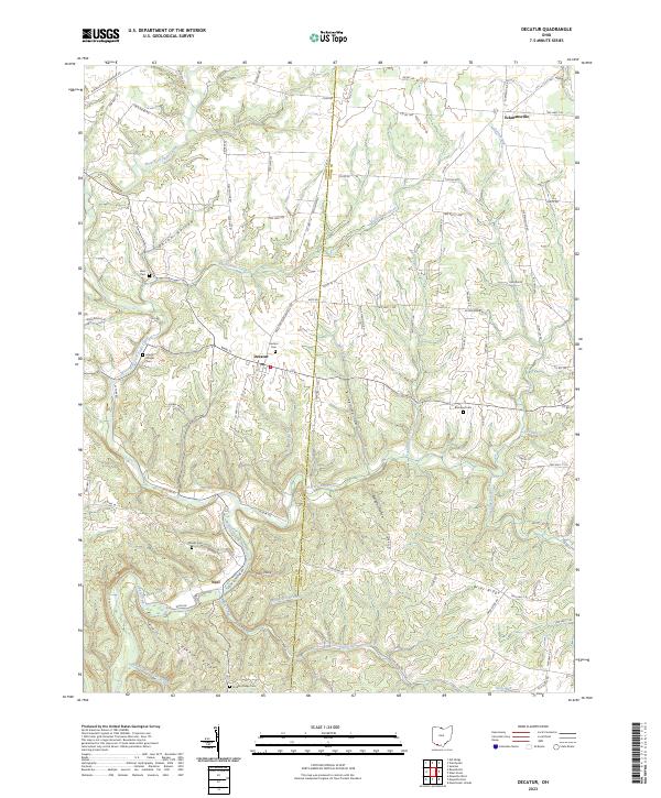
1961 Decatur
Adams County, OH
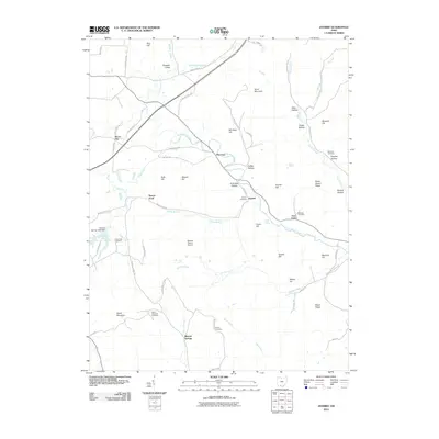
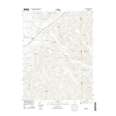
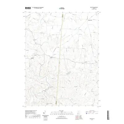
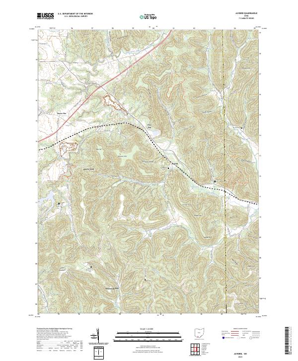
1961 Jaybird
Adams County, OH
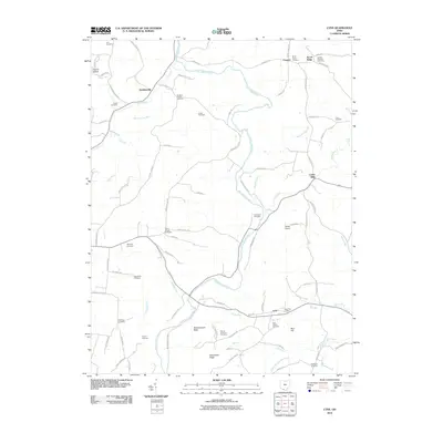
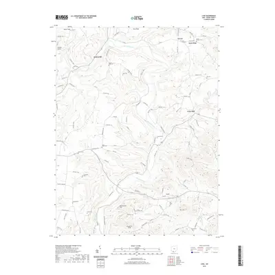
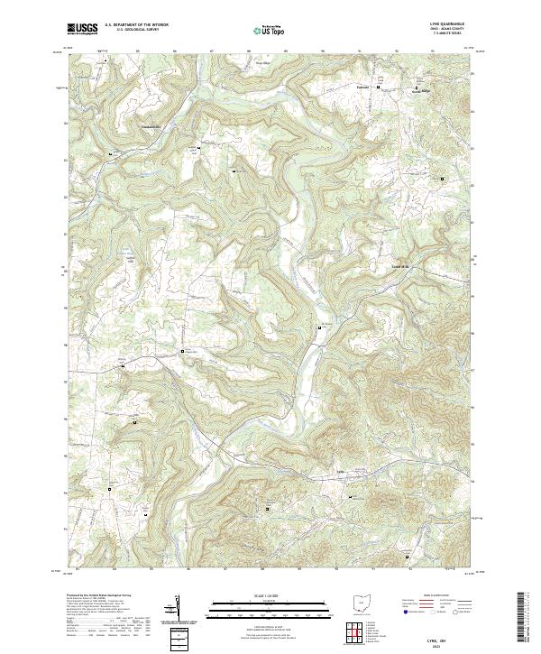
1961 Lynx
Adams County, OH
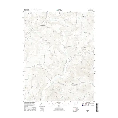
1967 Buena Vista
Adams County, OH
2010 Blue Creek
Adams County, OH
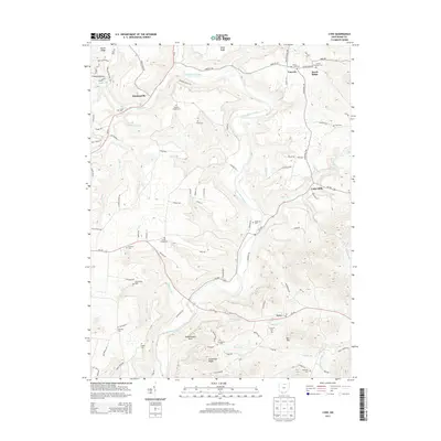
2010 Buena Vista
Adams County, OH
2010 Decatur
Adams County, OH
2010 Jaybird
Adams County, OH
2010 Lynx
Adams County, OH
2013 Blue Creek
Adams County, OH
2013 Buena Vista
Adams County, OH
2013 Decatur
Adams County, OH
2013 Jaybird
Adams County, OH
2013 Lynx
Adams County, OH
2016 Blue Creek
Adams County, OH
2016 Buena Vista
Adams County, OH
2016 Decatur
Adams County, OH
2016 Jaybird
Adams County, OH
2016 Lynx
Adams County, OH
2019 Blue Creek
Adams County, OH
2019 Buena Vista
Adams County, OH
2019 Decatur
Adams County, OH
2019 Jaybird
Adams County, OH
2019 Lynx
Adams County, OH
2023 Blue Creek
Adams County, OH
2023 Buena Vista
Adams County, OH
2023 Decatur
Adams County, OH
2023 Jaybird
Adams County, OH
2023 Lynx
Adams County, OH