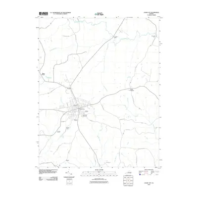
2010 Map of Chase City
USGS Topo · Published 2010About this map
Chase City serves as the central hub of this 2010 survey, showing the grid-pattern streets and civic markers of a significant Southside Virginia settlement. The landscape is defined by the drainage of the South Meherrin River to the north and numerous meandering waterways including Butcher Creek, Horsepen Creek, and Little Bluestone Creek. Civic life and community history are anchored by landmarks like the Chase City Post Office and the South Central Fairgrounds, while the local genealogy is preserved at Woodlawn Cemetery, Bethlehem Cemetery, and Friendship Cemetery. Outside the main town, smaller clusters like Fairview, Scotts Crossroads, and Esnon mark the rural intersections. The transition of the local economy and transport is visible in the placement of river crossings such as Tucker Mill Bridge and Rocky Mill Bridge, which hint at the region's agricultural and milling past near the South Meherrin River.
Find a feature on this map
40 named features on this map. Tap any name to fly to it.
Don’t see what you’re looking for? This feature index may not catch every label — zoom into the map to look around manually.
Map Details
Editions of this 2010 Chase City Map
This is the sole edition of this map. No revisions or reprints were ever made.
Other maps of this area

1941 · Clarksville
USGS Topo · 1:48,000

1943 · Clarksville
USGS Topo · 1:62,500

1953 · Greensboro
USGS Topo · 1:250,000

1954 · Greensboro
USGS Topo · 1:250,000

1954 · Clover
USGS Topo · 1:62,500

1955 · Chase City
USGS Topo · 1:62,500

1955 · Boydton
USGS Topo · 1:62,500

1957 · Clarksville
USGS Topo · 1:62,500

1962 · Greensboro
USGS Topo · 1:250,000

1966 · Greensboro
USGS Topo · 1:250,000