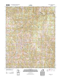
2013 Map of Chase City
USGS Topo · Published 2013About this map
Chase City serves as the central hub of this Southside Virginia landscape, characterized by a detailed street grid that includes the South Central Fairgrounds and various residential corridors. The surrounding terrain is defined by a dendritic network of streams such as Butcher Cr, Finneywood Cr, and Little Bluestone Cr, which drain toward the S Meherrin River in the north. This 2013 survey illustrates the modern layout of rural communities including Finneywood, Esnon, and Fairview, alongside infrastructure like the Hazelswart Airport. The road network radiating from the town center, including Skipwith Rd and Finneywood Rd, connects smaller crossings like Scotts Crossroad to the regional commerce of the town. For those studying Mecklenburg County, the map provides a precise record of late-twentieth and early-twenty-first-century property access and local landmarks.
Find a feature on this map
93 named features on this map. Tap any name to fly to it.
Don’t see what you’re looking for? This feature index may not catch every label — zoom into the map to look around manually.
Map Details
Editions of this 2013 Chase City Map
This is the sole edition of this map. No revisions or reprints were ever made.
Other maps of this area

1941 · Clarksville
USGS Topo · 1:48,000

1943 · Clarksville
USGS Topo · 1:62,500

1953 · Greensboro
USGS Topo · 1:250,000

1954 · Greensboro
USGS Topo · 1:250,000

1954 · Clover
USGS Topo · 1:62,500

1955 · Chase City
USGS Topo · 1:62,500

1955 · Boydton
USGS Topo · 1:62,500

1957 · Clarksville
USGS Topo · 1:62,500

1962 · Greensboro
USGS Topo · 1:250,000

1966 · Greensboro
USGS Topo · 1:250,000