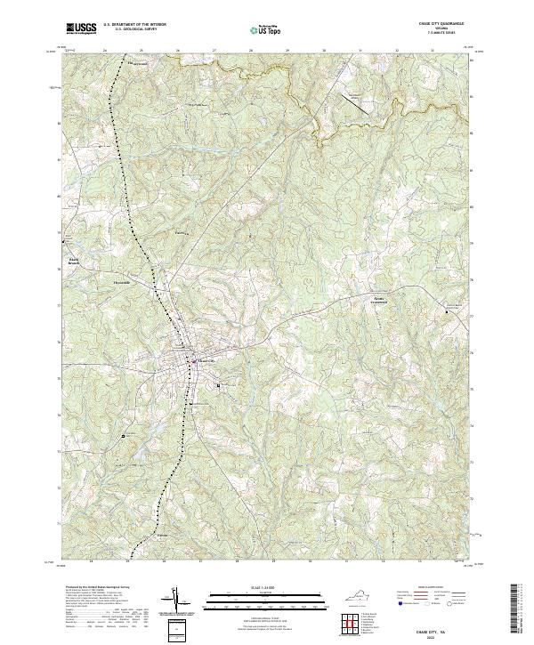
2022 Map of Chase City
USGS Topo · Published 2022About this map
Chase City serves as the primary hub of this Mecklenburg County landscape, where the local street grid intersects with the Tobacco Heritage Tr. This rails-to-trails corridor highlights the region's agricultural transition, replacing former rail lines that once moved tobacco through southern Virginia. The area's settlement pattern is defined by several small communities and crossroads such as Thynedale, Scotts Crossroad, and Finneywood. Education and infrastructure are represented by the Southside Virginia Community College Estes Community Center and the Hazelswart Airport to the northeast. To the north, the South Meherrin River forms a natural boundary near the Lunenburg Co line. Numerous family and community burial grounds, including Woodlawn Cem and Bethlehem Cem, are scattered across the terrain, offering significant touchpoints for genealogical research in this long-settled rural district.
Find a feature on this map
79 named features on this map. Tap any name to fly to it.
Don’t see what you’re looking for? This feature index may not catch every label — zoom into the map to look around manually.
Map Details
Editions of this 2022 Chase City Map
This is the sole edition of this map. No revisions or reprints were ever made.
Other maps of this area

1941 · Clarksville
USGS Topo · 1:48,000

1943 · Clarksville
USGS Topo · 1:62,500

1953 · Greensboro
USGS Topo · 1:250,000

1954 · Greensboro
USGS Topo · 1:250,000

1954 · Clover
USGS Topo · 1:62,500

1955 · Chase City
USGS Topo · 1:62,500

1955 · Boydton
USGS Topo · 1:62,500

1957 · Clarksville
USGS Topo · 1:62,500

1962 · Greensboro
USGS Topo · 1:250,000

1966 · Greensboro
USGS Topo · 1:250,000