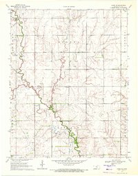
1970 Map of Chase NE
USGS Topo · Published 1972About this map
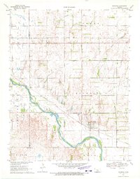
Frederick Oil Field defines the industrial character of northern Rice County in this 1970 study, where clusters of Oil Wells are scattered across the section lines of Eureka and Victoria townships. The landscape is a grid of agricultural fields and energy extraction, bisected by the meandering paths of Plum Creek, Lost Creek, and the larger Cow Creek. Local community life is anchored by rural landmarks like Sunny Four Sch and the Ebenezer Ch in the southern portion of the quadrangle. These small institutions, along with a marked Cem near the creek, reflect the enduring social fabric of the plains during a period of steady petroleum production. The presence of a Substation and a network of section roads highlights the infrastructure supporting both the farms and the oil patches that shaped the local economy in the late twentieth century.
Find a feature on this map
16 named features on this map. Tap any name to fly to it.
Don’t see what you’re looking for? This feature index may not catch every label — zoom into the map to look around manually.
Map Details
Editions of this 1970 Chase NE Map
This is the sole edition of this map. No revisions or reprints were ever made.
Other maps of this area

1894 · Ellsworth
USGS Topo · 1:125,000

1894 · Lyons
USGS Topo · 1:125,000

1955 · Great Bend
USGS Topo · 1:250,000

1957 · Great Bend
USGS Topo · 1:250,000

1958 · Great Bend
USGS Topo · 1:250,000
1964 · Holyrood
USGS Topo · 1:24,000
1964 · Geneseo
USGS Topo · 1:24,000
1964 · Lorraine
USGS Topo · 1:24,000

1970 · Lyons
USGS Topo · 1:24,000
1970 · Raymond
USGS Topo · 1:24,000