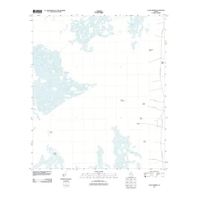
2011 Map of Chase Prairie
USGS Topo · Published 2011About this map
Silver Hill serves as the primary eastern entry point to this wetland environment, where the landscape is defined by the labyrinthine waterways of the Suwannee Canal. The map reveals a mosaic of isolated terrestrial features such as McDonald Island, Indian Island, and Lloyd Island, which rise above the surrounding prairies and marshes. Access to these interior reaches is facilitated by remote points like Bugaboo Landing and Davis Boat Landing, while the Coffee Bay Rest Shelter provides a specific point of orientation for those navigating the canal system.
Find a feature on this map
19 named features on this map. Tap any name to fly to it.
Don’t see what you’re looking for? This feature index may not catch every label — zoom into the map to look around manually.
Map Details
Editions of this 2011 Chase Prairie Map
This is the sole edition of this map. No revisions or reprints were ever made.
Other maps of this area

1918 · Folkston
USGS Topo · 1:62,500

1918 · Moniac
USGS Topo · 1:62,500

1942 · Moniac
USGS Topo · 1:62,500

1954 · Valdosta
USGS Topo · 1:250,000

1958 · Valdosta
USGS Topo · 1:250,000

1959 · Valdosta
USGS Topo · 1:250,000

1965 · Chesser Island
USGS Topo · 1:24,000

1965 · Double Lakes
USGS Topo · 1:24,000

1965 · Chase Prairie
USGS Topo · 1:24,000

1965 · Blackjack Island
USGS Topo · 1:24,000