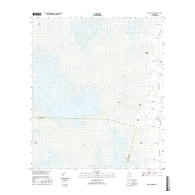
2017 Map of Chase Prairie
USGS Topo · Published 2017About this map
Okefenokee Swamp dominates this landscape, showing a complex mosaic of open water and saturated terrain in the 21st century. The map highlights the vast, trackless nature of Chase Prairie and Mizell Prairie, interrupted only by isolated high ground such as Floyds Island and Lloyd Island. These islands served as critical landmarks and occasional sites of human activity within the wetlands. To the east, the abrupt rise of Trail Ridge forms a natural boundary, hosting the community of Silver Hill and the network of perimeter roads that skirt the swamp's edge.
Find a feature on this map
36 named features on this map. Tap any name to fly to it.
Don’t see what you’re looking for? This feature index may not catch every label — zoom into the map to look around manually.
Map Details
Editions of this 2017 Chase Prairie Map
This is the sole edition of this map. No revisions or reprints were ever made.
Other maps of this area

1918 · Folkston
USGS Topo · 1:62,500

1918 · Moniac
USGS Topo · 1:62,500

1942 · Moniac
USGS Topo · 1:62,500

1954 · Valdosta
USGS Topo · 1:250,000

1958 · Valdosta
USGS Topo · 1:250,000

1959 · Valdosta
USGS Topo · 1:250,000

1965 · Chesser Island
USGS Topo · 1:24,000

1965 · Double Lakes
USGS Topo · 1:24,000

1965 · Chase Prairie
USGS Topo · 1:24,000

1965 · Blackjack Island
USGS Topo · 1:24,000