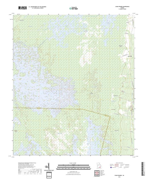
2024 Map of Chase Prairie
USGS Topo · Published 2024About this map
The Okefenokee Swamp dominates this landscape, defined by a complex mosaic of aquatic prairies and isolated upland islands. Within the Okefenokee Wilderness, the map details a unique interior topography where open expanses like Chase Prairie, Territory Prairie, and Mizell Prairie are punctuated by wooded rises such as Floyds Island and McDonald Island. These 'islands' and 'hammocks,' including Cedar Hammock, represent crucial dry ground within the vast wetland system.
Find a feature on this map
34 named features on this map. Tap any name to fly to it.
Don’t see what you’re looking for? This feature index may not catch every label — zoom into the map to look around manually.
Map Details
Editions of this 2024 Chase Prairie Map
This is the sole edition of this map. No revisions or reprints were ever made.
Other maps of this area

1918 · Folkston
USGS Topo · 1:62,500

1918 · Moniac
USGS Topo · 1:62,500

1942 · Moniac
USGS Topo · 1:62,500

1954 · Valdosta
USGS Topo · 1:250,000

1958 · Valdosta
USGS Topo · 1:250,000

1959 · Valdosta
USGS Topo · 1:250,000

1965 · Chesser Island
USGS Topo · 1:24,000

1965 · Double Lakes
USGS Topo · 1:24,000

1965 · Chase Prairie
USGS Topo · 1:24,000

1965 · Blackjack Island
USGS Topo · 1:24,000