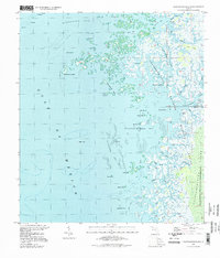
1994 Map of Chassahowitzka Bay
USGS Topo · Published 1998About this map
Chassahowitzka Bay and its complex network of islands and tidal creeks define this coastal stretch along the Gulf of Mexico. The landscape is dominated by the Chassahowitzka National Wildlife Refuge and the Chassahowitzka State Wildlife Management Area, preserving a primitive environment of mangrove keys and salt marshes. The Chassahowitzka River flows into the bay near Johns Island, while to the north, the Homosassa Bay meets the coastline at Long Point.
Find a feature on this map
47 named features on this map. Tap any name to fly to it.
Don’t see what you’re looking for? This feature index may not catch every label — zoom into the map to look around manually.
Map Details
Editions of this 1994 Chassahowitzka Bay Map
This is the sole edition of this map. No revisions or reprints were ever made.
Other maps of this area

1954 · Homosassa
USGS Topo · 1:24,000

1954 · Chassahowitzka Bay
USGS Topo · 1:24,000

1954 · Chassahowitzka
USGS Topo · 1:24,000

1954 · Bayport
USGS Topo · 1:24,000

1954 · Weekiwachee Springs
USGS Topo · 1:24,000

1954 · Ozello
USGS Topo · 1:24,000

1955 · Plant City
USGS Topo · 1:250,000

1958 · Plant City
USGS Topo · 1:250,000

1959 · Plant City
USGS Topo · 1:250,000

1964 · Plant City
USGS Topo · 1:250,000