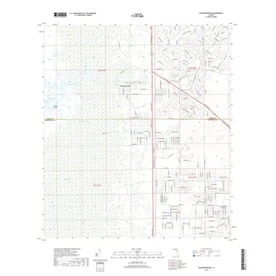
2018 Map of Chassahowitzka
USGS Topo · Published 2018About this map
Chassahowitzka sits at the edge of a complex hydraulic landscape where the coastal wetlands of the Chassahowitzka Swamp meet inland hammocks. The area is defined by a dense network of spring-fed waterways, including the Chassahowitzka River, Potter Creek, and Johnson Creek, which weave through the sawgrass and mangrove environments toward the Gulf. The map reveals the stark contrast between the preserved natural systems of the western marshes and the emerging residential road networks to the east.
Find a feature on this map
192 named features on this map. Tap any name to fly to it.
Don’t see what you’re looking for? This feature index may not catch every label — zoom into the map to look around manually.
Map Details
Editions of this 2018 Chassahowitzka Map
This is the sole edition of this map. No revisions or reprints were ever made.
Other maps of this area

1895 · Tsala Apopka
USGS Topo · 1:62,500

1954 · Lecanto
USGS Topo · 1:24,000

1954 · Homosassa
USGS Topo · 1:24,000

1954 · Chassahowitzka Bay
USGS Topo · 1:24,000

1954 · Brooksville NW
USGS Topo · 1:24,000

1954 · Brooksville
USGS Topo · 1:24,000

1954 · Chassahowitzka
USGS Topo · 1:24,000

1954 · Bayport
USGS Topo · 1:24,000

1954 · Weekiwachee Springs
USGS Topo · 1:24,000

1954 · Ozello
USGS Topo · 1:24,000