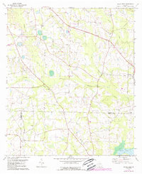
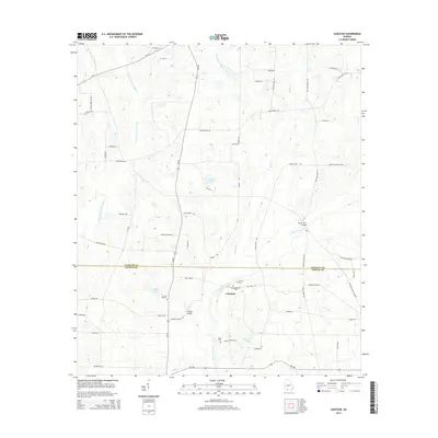
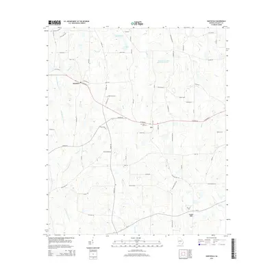
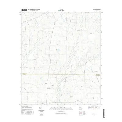
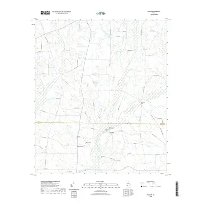
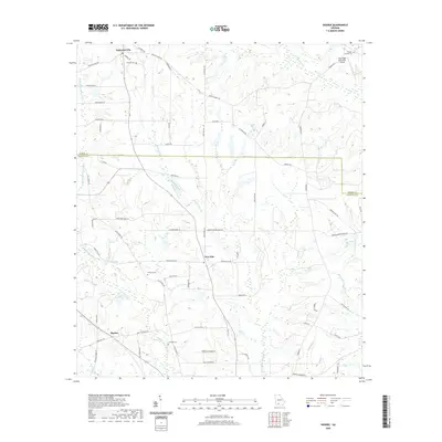
1977 Map of Chastain
USGS Topo · Published 1977About this map
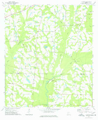
The Ochlockonee River and Little River converge in this corner of South Georgia, defining a landscape marked by rural creek bottomlands and scattered agricultural settlements during the mid-1970s. The boundary between Colquitt Co and Thomas Co bisects the area, with the community of Chastain serving as a central landmark near the river crossing. The map reveals a dense network of country churches that anchored local life, including Mt Zion Ch and Union Hill Ch. The presence of White Cem and the small settlement at Bannister provide specific points of interest for those researching family history in these rural districts. Traditional land use is evident through the numerous fence and field lines recorded from aerial photography, alongside historic water features like Lukes Pond and the crossing at Rocky Ford Bridge.
Find a feature on this map
21 named features on this map. Tap any name to fly to it.
Don’t see what you’re looking for? This feature index may not catch every label — zoom into the map to look around manually.
Map Details
Editions of this 1977 Chastain Map
This is the sole edition of this map. No revisions or reprints were ever made.
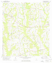
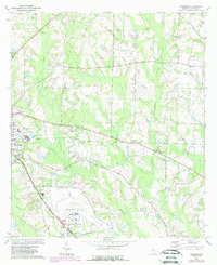
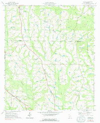
Historical Maps of Chastain Through Time
30 maps found
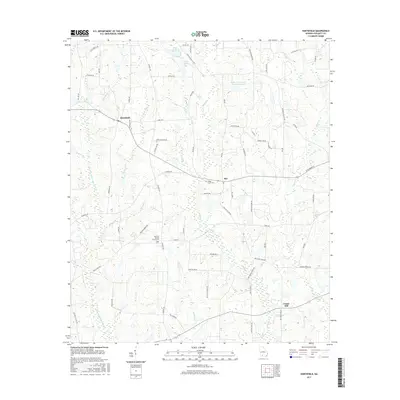
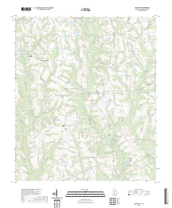
1974 Hartsfield
Colquitt County, GA
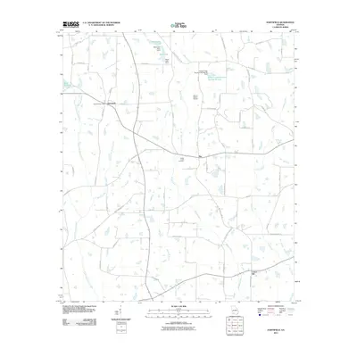
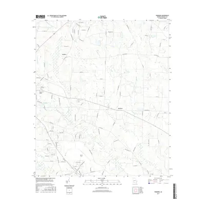
1974 Pineboro
Colquitt County, GA
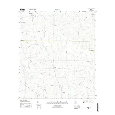
1974 Sigsbee
Colquitt County, GA
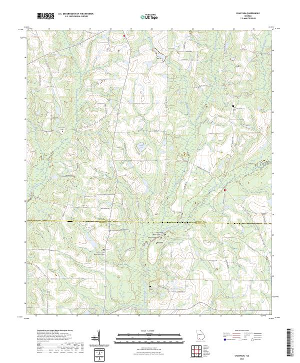
1977 Chastain
Colquitt County, GA
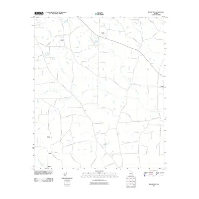
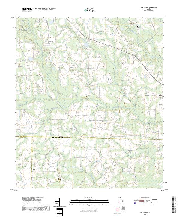
1978 Berlin West
Colquitt County, GA
2011 Berlin West
Colquitt County, GA
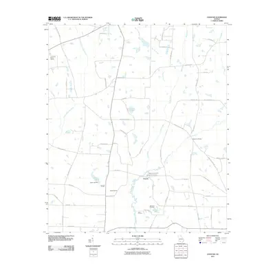
2011 Chastain
Colquitt County, GA
2011 Hartsfield
Colquitt County, GA
2011 Pineboro
Colquitt County, GA
2011 Sigsbee
Colquitt County, GA
2014 Berlin West
Colquitt County, GA
2014 Chastain
Colquitt County, GA
2014 Hartsfield
Colquitt County, GA
2014 Pineboro
Colquitt County, GA
2014 Sigsbee
Colquitt County, GA
2017 Berlin West
Colquitt County, GA
2017 Chastain
Colquitt County, GA
2017 Hartsfield
Colquitt County, GA
2017 Pineboro
Colquitt County, GA
2017 Sigsbee
Colquitt County, GA
2020 Berlin West
Colquitt County, GA
2020 Chastain
Colquitt County, GA
2020 Hartsfield
Colquitt County, GA
2020 Pineboro
Colquitt County, GA
2020 Sigsbee
Colquitt County, GA
2024 Berlin West
Colquitt County, GA
2024 Chastain
Colquitt County, GA
2024 Hartsfield
Colquitt County, GA
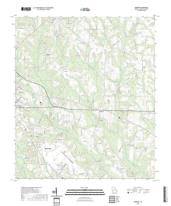
2024 Pineboro
Colquitt County, GA
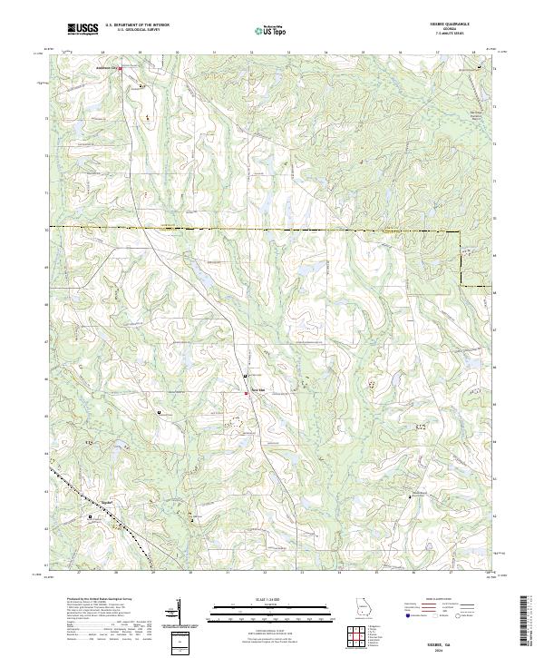
2024 Sigsbee
Colquitt County, GA