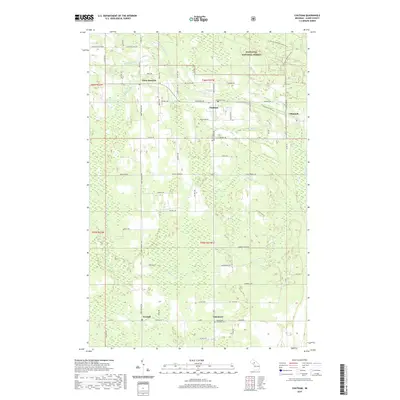
2019 Map of Chatham
USGS Topo · Published 2019About this map
Eben Junction and Chatham anchor this portion of the Upper Peninsula, where the organized grid of the Hiawatha National Forest meets the winding courses of Slapneck Cr and Bohemian Cr. The map reveals a landscape defined by its timber and rail heritage, evidenced by the presence of the Coalwood Trail and several small rural settlements like Traunik and Limestone. Local history is preserved at the Pine Grove Cem and Limestone Township Cem, while the intricate network of county roads like Co Hwy 371 and Tunteri Rd connects scattered farmsteads and homesites. The drainage patterns of Black Cr and Johnson Cr illustrate the subtle topography of Alger County, showing how water moves through the timberland toward Laakso Lake and Ivars Pond.
Find a feature on this map
62 named features on this map. Tap any name to fly to it.
Don’t see what you’re looking for? This feature index may not catch every label — zoom into the map to look around manually.
Map Details
Editions of this 2019 Chatham Map
This is the sole edition of this map. No revisions or reprints were ever made.
Other maps of this area

1932 · Rock NE
USGS Topo · 1:31,680

1932 · Skandia SE
USGS Topo · 1:31,680

1932 · Skandia NE
USGS Topo · 1:31,680

1958 · Trenary
USGS Topo · 1:62,500

1958 · Au Train
USGS Topo · 1:62,500

1958 · Skandia
USGS Topo · 1:62,500
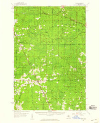
1958 · Rock
USGS Topo · 1:62,500

1958 · Marquette
USGS Topo · 1:250,000

1960 · Marquette
USGS Topo · 1:250,000

1961 · Marquette
USGS Topo · 1:250,000