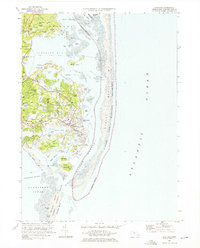
1974 Map of Chatham
USGS Topo · Published 1976About this map
Chatham and its intricate shoreline are documented in this mid-1970s survey, showing the town before more recent coastal shifts. The map details a densely settled maritime community defined by its proximity to the Atlantic, with the Chatham Lighthouse standing sentinel over Stage Harbor and the shifting sands of Nauset Beach. Residential growth is evident in settlements like North Chatham and West Chatham, while the preservation of the landscape is marked by the Monomoy National Wildlife Refuge and Nauset Beach National Seashore. For genealogists, the map is particularly useful, identifying numerous burial grounds such as Old Cem, People Cem, and Seaside Cem. The local infrastructure is well-defined, from the Chatham Municipal Airport to the various radio towers and the Eastward Ho Country Club, reflecting a landscape that balances a working maritime heritage with a growing mid-century recreational economy.
Find a feature on this map
91 named features on this map. Tap any name to fly to it.
Don’t see what you’re looking for? This feature index may not catch every label — zoom into the map to look around manually.
Map Details
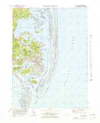
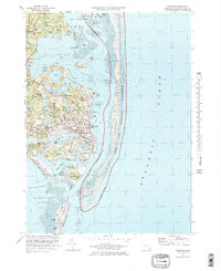
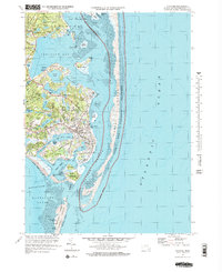
Editions of this 1974 Chatham Map
4 editions found
Other maps of this area

1887 · Wellfleet
USGS Topo · 1:62,500

1887 · Yarmouth
USGS Topo · 1:62,500

1888 · Chatham
USGS Topo · 1:62,500

1889 · Yarmouth
USGS Topo · 1:62,500

1889 · Wellfleet
USGS Topo · 1:62,500

1893 · Chatham
USGS Topo · 1:62,500

1893 · Yarmouth
USGS Topo · 1:62,500

1893 · Wellfleet
USGS Topo · 1:62,500

1917 · Chatham
USGS Topo · 1:62,500

1942 · Cape Cod Bay
USGS Topo · 1:125,000