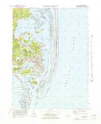
1974 Map of Chatham
USGS Topo · Published 1978About this map
Chatham Lighthouse stands as a sentinel over the shifting sands of the Atlantic coast in this mid-1970s topographic record. The landscape is defined by an intricate network of coastal inlets and freshwater bodies, including Oyster Pond, Lovers Lake, and Crows Pond. The maritime character of the community is evidenced by the Chatham Yacht Club and the inclusion of numerous tidal flats and shoals that dictate the local navigation and economy.
Find a feature on this map
78 named features on this map. Tap any name to fly to it.
Don’t see what you’re looking for? This feature index may not catch every label — zoom into the map to look around manually.
Map Details
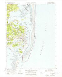
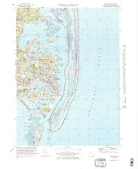
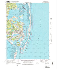
Editions of this 1974 Chatham Map
4 editions found
Other maps of this area

1887 · Wellfleet
USGS Topo · 1:62,500

1887 · Yarmouth
USGS Topo · 1:62,500

1888 · Chatham
USGS Topo · 1:62,500

1889 · Yarmouth
USGS Topo · 1:62,500

1889 · Wellfleet
USGS Topo · 1:62,500

1893 · Chatham
USGS Topo · 1:62,500

1893 · Yarmouth
USGS Topo · 1:62,500

1893 · Wellfleet
USGS Topo · 1:62,500

1917 · Chatham
USGS Topo · 1:62,500

1942 · Cape Cod Bay
USGS Topo · 1:125,000