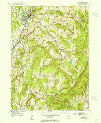
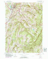
1953 Map of Chatham
USGS Topo · Published 1955About this map
Chatham serves as a central hub for the New York Central Line in the early 1950s, anchoring a landscape of agricultural hamlets and mill sites. The rail network branches toward Ghent and north through the village, passing infrastructure like the Sewage Disposal and Waterworks. Industrial history is evidenced by Arnolds Mill situated on the banks of Punsit Creek, while the local social fabric is preserved through numerous family and institutional landmarks, including the County Farm and County Cem.
Find a feature on this map
34 named features on this map. Tap any name to fly to it.
Don’t see what you’re looking for? This feature index may not catch every label — zoom into the map to look around manually.
Map Details
Editions of this 1953 Chatham Map
5 editions found
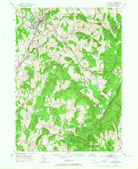
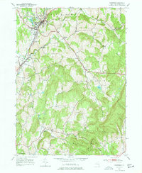
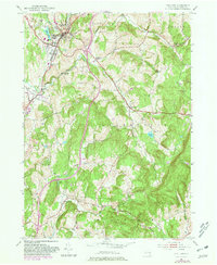
Other maps of this area

1885 · Sheffield
USGS Topo · 1:62,500

1888 · Sheffield
USGS Topo · 1:62,500

1888 · Pittsfield
USGS Topo · 1:62,500

1890 · Pittsfield
USGS Topo · 1:62,500

1891 · Sheffield
USGS Topo · 1:62,500

1893 · Sheffield
USGS Topo · 1:62,500

1893 · Pittsfield
USGS Topo · 1:62,500

1894 · Pittsfield
USGS Topo · 1:62,500

1897 · Pittsfield
USGS Topo · 1:62,500

1897 · Sheffield
USGS Topo · 1:62,500