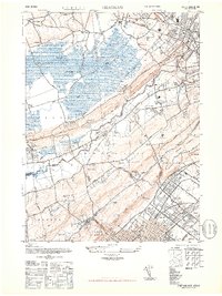
1947 Map of Chatham
USGS Topo · Published 1947About this map
The Great Swamp dominates the northern reaches of this landscape, a significant natural basin drained by Black Brook and Great Brook before they meet the winding Passaic River. In the post-war years, the surrounding highlands show a distinct pattern of suburban development and institutional expansion, particularly along the ridges of Watchung Mountain. Major facilities such as the U S Veterans Hospital and the Bonnie Burn Sanatorium occupy prominent positions, while the Lackawanna railroad line serves established communities like Madison, Chatham, and New Providence. Further south, the map details the dense residential grids of Plainfield and Fanwood, providing a clear look at the infrastructure of the Scotch Plains area. The transition from the undeveloped wetlands of Harding to the burgeoning industrial and commuter hubs of Summit illustrates the era’s suburban shift.
Find a feature on this map
85 named features on this map. Tap any name to fly to it.
Don’t see what you’re looking for? This feature index may not catch every label — zoom into the map to look around manually.
Map Details
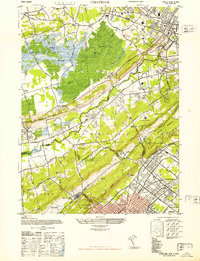
Editions of this 1947 Chatham Map
2 editions found
Other maps of this area

1888 · Plainfield
USGS Topo · 1:62,500

1888 · Morristown
USGS Topo · 1:62,500

1888 · Lake Hopatcong
USGS Topo · 1:62,500

1891 · Somerville
USGS Topo · 1:62,500

1893 · Plainfield
USGS Topo · 1:62,500

1893 · Somerville
USGS Topo · 1:62,500

1894 · Morristown
USGS Topo · 1:62,500

1894 · Lake Hopatcong
USGS Topo · 1:62,500

1898 · Lake Hopatcong
USGS Topo · 1:62,500

1898 · Morristown
USGS Topo · 1:62,500