
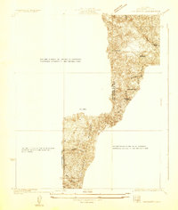
1927 Map of Chatsworth
USGS Topo · Published 1927About this map
The San Fernando Valley landscape in the mid-1920s reveals the transitional state of the region's early suburban and agricultural expansion. Dominated by the Chatsworth Reservoir, the topography shows a sharp contrast between the flat valley floor and the rising heights of the Simi and Escorpion areas. The Southern Pacific railroad serves as a critical corridor through Chatsworth, providing the infrastructure that anchored these early settlements before the post-war housing booms. Local transit and connectivity are marked by a grid of named streets including Sherman Way and Topanga Canyon Ave, which would later become major regional thoroughfares. Notable local sites like Oakwood Cemetery and the town of Owensmouth offer specific points of interest for genealogists tracing the early residents of Los Angeles County.
Find a feature on this map
23 named features on this map. Tap any name to fly to it.
Don’t see what you’re looking for? This feature index may not catch every label — zoom into the map to look around manually.
Map Details
Editions of this 1927 Chatsworth Map
This is the sole edition of this map. No revisions or reprints were ever made.
Other maps of this area

1903 · Calabasas
USGS Topo · 1:62,500

1903 · Camulos
USGS Topo · 1:125,000

1903 · Santa Susana
USGS Topo · 1:62,500

1925 · Chatsworth
USGS Topo · 1:24,000
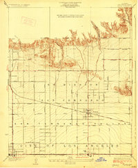
1928 · Zelzah
USGS Topo · 1:24,000

1928 · Dry Canyon
USGS Topo · 1:24,000
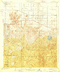
1928 · Reseda
USGS Topo · 1:24,000
1929 · Zelzah
USGS Topo · 1:24,000
1929 · Newhall
USGS Topo · 1:24,000
1929 · Chatsworth
USGS Topo · 1:24,000