
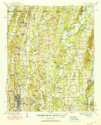
1938 Map of Chatsworth
USGS Topo · Published 1938About this map
Dalton and Chatsworth serve as the primary hubs in this late 1930s survey of the Georgia-Tennessee borderlands. The landscape is defined by the winding course of the Conasauga River, where historical river crossings such as Gudger Ford, Harris Ford, and Old Chattanooga Ford reflect a period before modern bridges standardized travel. These river-dependent economies are further evidenced by Praters Mill and Gregorys Mill, indicating a rural reliance on local waterpower for milling operations.
Find a feature on this map
76 named features on this map. Tap any name to fly to it.
Don’t see what you’re looking for? This feature index may not catch every label — zoom into the map to look around manually.
Map Details
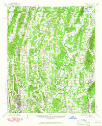
Editions of this 1938 Chatsworth Map
3 editions found
Other maps of this area

1886 · Dalton
USGS Topo · 1:125,000

1886 · Cleveland
USGS Topo · 1:125,000

1886 · Ringgold
USGS Topo · 1:125,000

1888 · Chattanooga
USGS Topo · 1:125,000

1892 · Ringgold
USGS Topo · 1:125,000

1892 · Cleveland
USGS Topo · 1:125,000

1892 · Dalton
USGS Topo · 1:125,000

1893 · Chattanooga
USGS Topo · 1:125,000

1895 · Cleveland
USGS Topo · 1:125,000

1897 · Dalton
USGS Topo · 1:125,000