
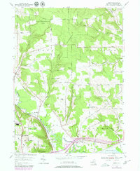
2023 Map of Chautauqua
USGS Topo · Published 2023About this map
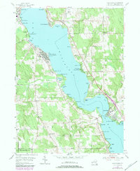
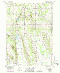
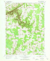
Chautauqua Lake dominates this landscape, its western and eastern shores lined with a dense network of seasonal and year-round communities. The eastern bank is anchored by the historic recreation grounds of Midway Park and the village of Bemus Point, while the western shore features the sprawling grounds of Chautauqua and Point Pleasant. Inland from the water, the terrain transitions into a more rural character defined by agricultural roads and family-named cemeteries such as Dewittville Cem and Open Meadows Cem.
Find a feature on this map
119 named features on this map. Tap any name to fly to it.
Don’t see what you’re looking for? This feature index may not catch every label — zoom into the map to look around manually.
Map Details
Editions of this 2023 Chautauqua Map
This is the sole edition of this map. No revisions or reprints were ever made.
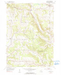
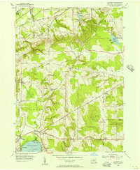
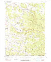
Historical Maps of Point Pleasant Through Time
39 maps found
1899 Westfield
Chautauqua County, NY
1900 Cherry Creek
Chautauqua County, NY
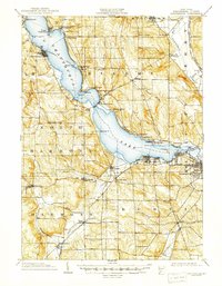
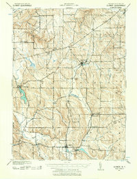
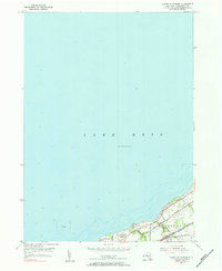
1904 Chautauqua
Chautauqua County, NY
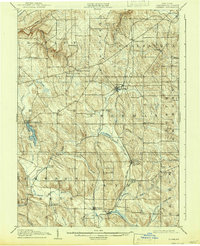
1905 Clymer
Chautauqua County, NY
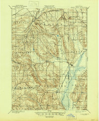
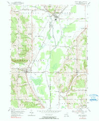
1939 Clymer
Chautauqua County, NY

1941 Chautauqua
Chautauqua County, NY

1941 Cherry Creek
Chautauqua County, NY

1941 Clymer
Chautauqua County, NY
1954 Chautauqua
Chautauqua County, NY
1954 Cherry Creek
Chautauqua County, NY

1954 Clymer
Chautauqua County, NY
1954 Ellery Center
Chautauqua County, NY
1954 Gerry
Chautauqua County, NY
1954 Hamlet
Chautauqua County, NY
1954 Hartfield
Chautauqua County, NY
1954 Ivory
Chautauqua County, NY
1954 North Clymer
Chautauqua County, NY
1954 Perrysburg
Chautauqua County, NY
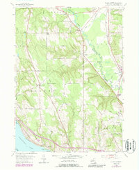
1954 Ripley
Chautauqua County, NY
1954 Sherman
Chautauqua County, NY
1954 South Ripley
Chautauqua County, NY
1954 Westfield
Chautauqua County, NY
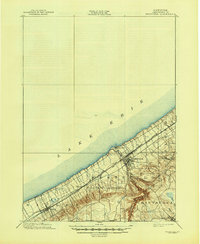
1955 North Of Dunkirk
Chautauqua County, NY
2023 Chautauqua
Chautauqua County, NY

2023 Cherry Creek
Chautauqua County, NY

2023 Clymer
Chautauqua County, NY

2023 Ellery Center
Chautauqua County, NY

2023 Gerry
Chautauqua County, NY

2023 Hamlet
Chautauqua County, NY

2023 Hartfield
Chautauqua County, NY

2023 Ivory
Chautauqua County, NY

2023 North Clymer
Chautauqua County, NY

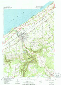
2023 North of Dunkirk
Chautauqua County, NY

2023 Perrysburg
Chautauqua County, NY

2023 Ripley
Chautauqua County, NY

2023 Sherman
Chautauqua County, NY

2023 South Ripley
Chautauqua County, NY

2023 Westfield
Chautauqua County, NY
2023 Westfield OE N
Chautauqua County, NY