
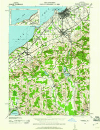
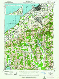
1943 Map of Dunkirk
USGS Topo · Published 1943About this map
The industrial and maritime activity of Dunkirk anchors this wartime survey, showing the intricate network of rails that served the Lake Erie shoreline. Major carriers like the Pennsylvania and the Nickel Plate railroad intersect at the city, facilitating trade near the Pierhead and Gratiot Pt. Moving inland, the landscape shifts toward the undulating hills of Chautauqua County, where the spiritualist community of Lily Dale sits between Upper Lake and Middle Lake. The map details numerous small agricultural and rail-stop settlements such as Cushing (PO), Cordova, and Lamberton. To the south, the headwaters of Cassadaga Creek and the northern tip of Chautauqua Lake at Hartfield illustrate the transition from the lake plain to the interior highlands, providing a clear view of the regional topography before mid-century development altered the rural character of the Pomfret and Stockton townships.
Find a feature on this map
54 named features on this map. Tap any name to fly to it.
Don’t see what you’re looking for? This feature index may not catch every label — zoom into the map to look around manually.
Map Details
Editions of this 1943 Dunkirk Map
3 editions found
Other maps of this area

1899 · Westfield
USGS Topo · 1:62,500

1899 · Silver Creek
USGS Topo · 1:62,500

1900 · Dunkirk
USGS Topo · 1:62,500

1900 · Cherry Creek
USGS Topo · 1:62,500

1904 · Chautaqua
USGS Topo · 1:62,500

1905 · Clymer
USGS Topo · 1:62,500

1905 · Jamestown
USGS Topo · 1:62,500

1939 · Clymer
USGS Topo · 1:62,500

1941 · Cherry Creek
USGS Topo · 1:62,500

1941 · Chautauqua
USGS Topo · 1:62,500