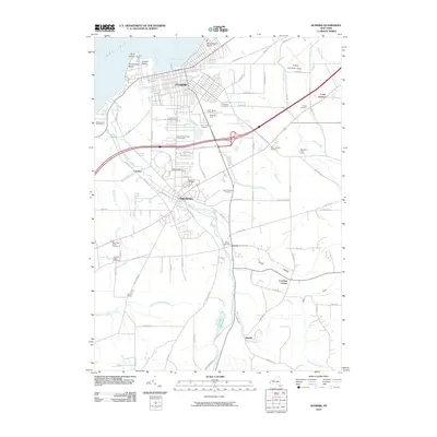
Loading...
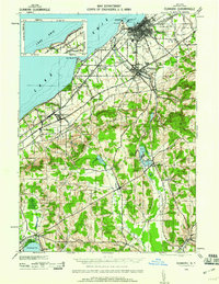
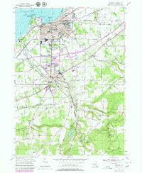
Loading map...1943 Map of Dunkirk
USGS Topo · Published 1960About this map
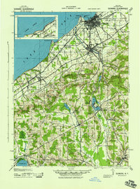
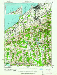
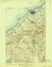
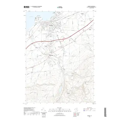
Lake Erie defines the northern edge of this wartime survey, where the industrial port of Dunkirk anchors a landscape of dense rail corridors and agricultural hamlets. The heavy transit network of the New York Central, Pennsylvania, and Nickel Plate railroads follows the shoreline, serving the regional centers of Fredonia and Brocton. Moving inland, the terrain climbs away from the coastal plain into the highlands of Stockton and Charlotte, where the geography shifts to a series of glacial lakes.
Find a feature on this map
56 named features on this map. Tap any name to fly to it.
Don’t see what you’re looking for? This feature index may not catch every label — zoom into the map to look around manually.
Map Details
Date Portrayed1943
Date Published1960
PublisherU.S. Geological Survey
Map TypeTopographic
Scale1:62,500
Physical Dimensions16.1 x 20.9 inches
Editions of this 1943 Dunkirk Map
3 editions found
Historical Maps of Pomfret Through Time
8 maps found

Featured Locations
Source Details
SourceU.S. Geological Survey
CopyrightPublic Domain