
1954 Map of Ellery Center
USGS Topo · Published 1956About this map
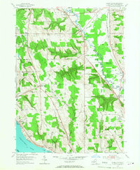
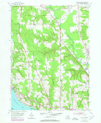
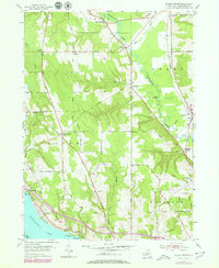
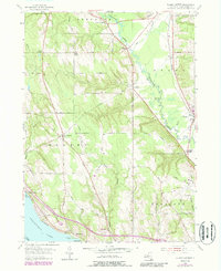
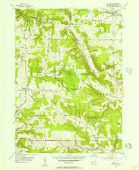
Chautauqua Lake dominates the southwestern corner of this mid-century New York survey, its shoreline dotted with named points like Belleview Point and the landing at Driftwood. This area captures a diverse landscape where traditional agricultural settlements like Ellery Center and South Stockton intersect with the burgeoning infrastructure of the 1950s. The eastern half is defined by the winding course of Cassadaga Creek, paralleled by the New York Central railroad line. Significant local landmarks include the Jamestown Municipal Airport with its Beacon and the Jamestown Speedway near Towerville. A complex network of family-named roads, such as Salisbury Road and Pancake Road, connects several small upland corners like Jones Corners and Alden Corners, revealing the detailed residential and topographic character of Chautauqua County before modern suburban expansion.
Find a feature on this map
54 named features on this map. Tap any name to fly to it.
Don’t see what you’re looking for? This feature index may not catch every label — zoom into the map to look around manually.
Map Details
Editions of this 1954 Ellery Center Map
5 editions found
Other maps of this area

1900 · Dunkirk
USGS Topo · 1:62,500

1900 · Cherry Creek
USGS Topo · 1:62,500

1904 · Chautaqua
USGS Topo · 1:62,500

1905 · Jamestown
USGS Topo · 1:62,500

1941 · Cherry Creek
USGS Topo · 1:62,500

1941 · Chautauqua
USGS Topo · 1:62,500

1942 · Jamestown
USGS Topo · 1:62,500

1943 · Dunkirk
USGS Topo · 1:62,500

1954 · Chautauqua
USGS Topo · 1:24,000
1954 · Hamlet
USGS Topo · 1:24,000