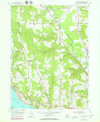
1954 Map of Ellery Center
USGS Topo · Published 1980About this map
Chautauqua Lake anchors the southwestern corner of this survey, where the settlements of Belleview and Colburns sit along the shoreline near Belleview Point. The landscape is defined by the transition from these lakeside communities to the upland dairy and agricultural districts of Stockton and Ellery. Moving inland, a network of rural crossroads like Ellery Center and Alden Corners connects the farmsteads, while the eastern portion of the map is dominated by the winding path of Cassadaga Creek. Local recreation and industry are represented by the Jamestown Speedway and the County Airport in the south, while the northern reaches include the hamlet of South Stockton. Evidence of changing transportation is found in the northern rail corridor, which was already marked as abandoned by the time of the 1970s revisions, reflecting the shift toward the highway system seen in the development of Interstate 80 and the various rest areas near the lake.
Find a feature on this map
54 named features on this map. Tap any name to fly to it.
Don’t see what you’re looking for? This feature index may not catch every label — zoom into the map to look around manually.
Map Details
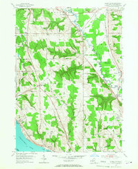
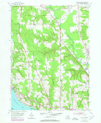
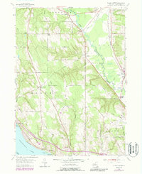
Editions of this 1954 Ellery Center Map
5 editions found
Other maps of this area

1900 · Dunkirk
USGS Topo · 1:62,500

1900 · Cherry Creek
USGS Topo · 1:62,500

1904 · Chautaqua
USGS Topo · 1:62,500

1905 · Jamestown
USGS Topo · 1:62,500

1941 · Cherry Creek
USGS Topo · 1:62,500

1941 · Chautauqua
USGS Topo · 1:62,500

1942 · Jamestown
USGS Topo · 1:62,500

1943 · Dunkirk
USGS Topo · 1:62,500

1954 · Chautauqua
USGS Topo · 1:24,000

1954 · Ellery Center
USGS Topo · 1:24,000