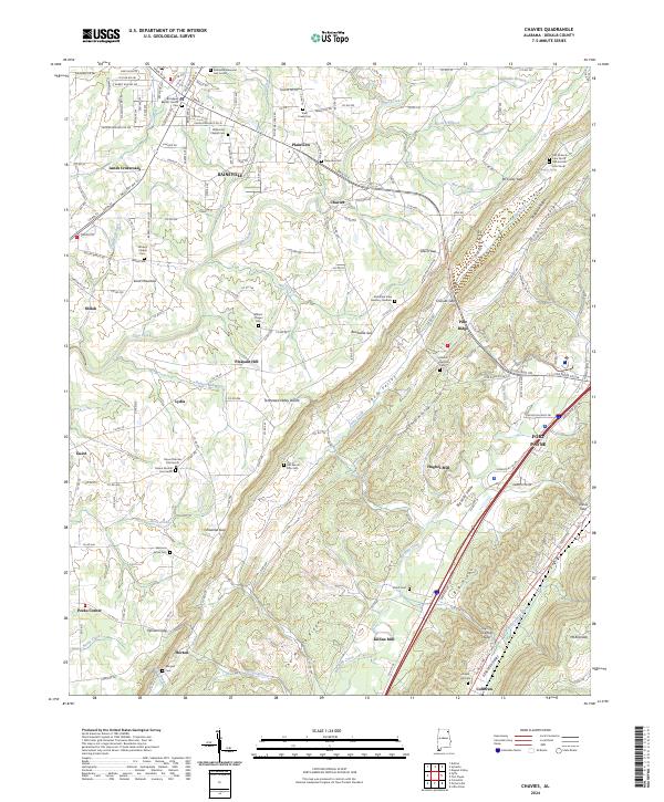
2024 Map of Chavies
USGS Topo · Published 2024About this map
Rainsville and Fort Payne anchor this survey of the Lookout Mountain and Sand Mountain plateau. The landscape is defined by the Tennessee Valley Divide, which separates the drainages of Town Creek flowing northwest from Big Wills Creek in the southeast. This geography created a corridor for settlement and industry along the valley floor, evidenced by the cluster of mills like Killian Mill and Hughes Mill and the concentration of mountain gaps including Chavies Gap and Chitwood Gap.
Find a feature on this map
87 named features on this map. Tap any name to fly to it.
Don’t see what you’re looking for? This feature index may not catch every label — zoom into the map to look around manually.
Map Details
Editions of this 2024 Chavies Map
This is the sole edition of this map. No revisions or reprints were ever made.
Other maps of this area

1886 · Stevenson
USGS Topo · 1:125,000

1892 · Stevenson
USGS Topo · 1:125,000

1893 · Fort Payne
USGS Topo · 1:125,000

1895 · Stevenson
USGS Topo · 1:125,000

1898 · Fort Payne
USGS Topo · 1:125,000

1900 · Fort Payne
USGS Topo · 1:125,000

1936 · Crossville
USGS Topo · 1:24,000

1936 · Dugout Valley
USGS Topo · 1:24,000

1936 · Chavies
USGS Topo · 1:24,000

1936 · Dutton
USGS Topo · 1:24,000