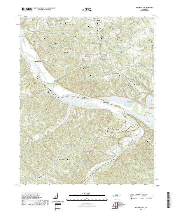
2022 Map of Cheatham Dam
USGS Topo · Published 2022About this map
The Cumberland River carves a deep, winding course through this landscape, separating Cheatham and Dickson Counties. Along its banks, distinctive riverine features like Harpeth Shoals, Reids Reef, and Pack Island define the waterway, which is flanked by the settlements of Fox Bluff and Doddsville. The terrain is deeply dissected by numerous creeks, including Half Pone Creek and Johnson Creek, which feed into the primary river systems.
Find a feature on this map
110 named features on this map. Tap any name to fly to it.
Don’t see what you’re looking for? This feature index may not catch every label — zoom into the map to look around manually.
Map Details
Editions of this 2022 Cheatham Dam Map
This is the sole edition of this map. No revisions or reprints were ever made.
Other maps of this area

1930 · White Bluff
USGS Topo · 1:62,500

1933 · White Bluff
USGS Topo · 1:62,500

1956 · Nashville
USGS Topo · 1:250,000

1957 · Cheatham Dam
USGS Topo · 1:24,000

1957 · Pleasant View
USGS Topo · 1:24,000

1957 · Henrietta
USGS Topo · 1:24,000

1957 · Ashland City
USGS Topo · 1:24,000

1958 · Charlotte
USGS Topo · 1:24,000

1958 · Cumberland Furnace
USGS Topo · 1:24,000
1958 · Excell
USGS Topo · 1:24,000