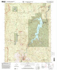
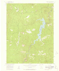
1956 Map of Cheesman Lake
USGS Topo · Published 1985About this map
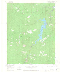
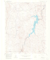
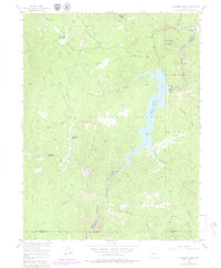
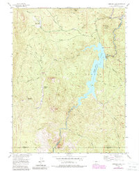
Cheesman Lake is the defining feature of this Colorado landscape, held in place by the Cheesman Dam at the junction of the Jefferson and Douglas county lines. This mid-century survey details the rugged topography of the Pike National Forest, where steep canyons like Molly Gulch and Flickenstein Gulch drain into the central reservoir. The map documents several notable institutional holdings, including the Flying G Ranch (Girl Scout Camp) and the Wigwam Club situated along Wigwam Creek.
Find a feature on this map
30 named features on this map. Tap any name to fly to it.
Don’t see what you’re looking for? This feature index may not catch every label — zoom into the map to look around manually.
Map Details
Editions of this 1956 Cheesman Lake Map
9 editions found
Other maps of this area

1893 · Platte Canyon
USGS Topo · 1:125,000

1953 · Denver
USGS Topo · 1:250,000

1954 · Deckers
USGS Topo · 1:24,000

1954 · Green Mountain
USGS Topo · 1:24,000
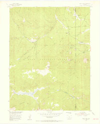
1954 · Windy Peak
USGS Topo · 1:24,000

1954 · Signal Butte
USGS Topo · 1:24,000

1956 · Mc Curdy Mountain
USGS Topo · 1:24,000

1956 · Tarryall
USGS Topo · 1:24,000

1956 · Hackett Mountain
USGS Topo · 1:24,000
1956 · Cheesman Lake
USGS Topo · 1:24,000