
1892 Map of Chef Menteur
USGS Topo · Published 1892About this map
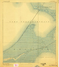
Ft Macomb stands as a sentinel at the junction of the Chef Menteur Pass and the Louisville and Nashville Railroad, guarding the vital water route between Lake Pontchartrain and Lake Borgne. This coastal landscape in the 1890s is dominated by the vast Prairie and Trembling marshlands, where rail lines provide the primary infrastructure through the wetlands. The small settlements of Micheaud and Lee appear as isolated stops along these corridors, while maritime navigation is supported by a Light House on the point known as Pt aux Herbes. Numerous waterways including Bayou Sauvage and Bayou Cochon thread through the terrain, illustrating the complex hydrology of eastern Orleans Parish before the era of intensive drainage and modern development.
Find a feature on this map
20 named features on this map. Tap any name to fly to it.
Don’t see what you’re looking for? This feature index may not catch every label — zoom into the map to look around manually.
Map Details
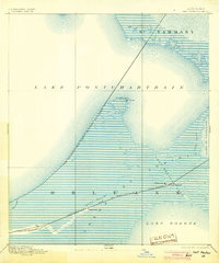
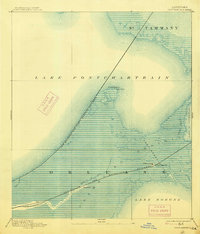
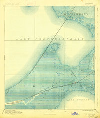
Editions of this 1892 Chef Menteur Map
5 editions found
Other maps of this area

1891 · Spanish Fort
USGS Topo · 1:62,500

1891 · New Orleans
USGS Topo · 1:62,500

1892 · St. Bernard
USGS Topo · 1:62,500

1893 · Rigolets
USGS Topo · 1:62,500

1893 · Shell Beach
USGS Topo · 1:62,500

1914 · Nicholson
USGS Topo · 1:62,500

1921 · Nicholson
USGS Topo · 1:62,500

1932 · New Orleans NE
USGS Topo · 1:31,680

1935 · Slidell
USGS Topo · 1:62,500

1935 · Covington
USGS Topo · 1:62,500