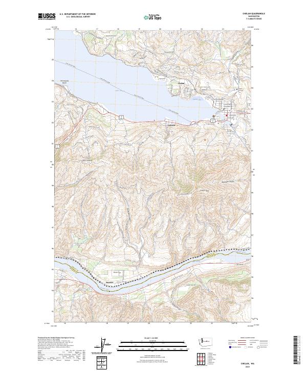
2023 Map of Chelan
USGS Topo · Published 2023About this map
Lake Chelan dominates the landscape of this 2023 survey, serving as a focal point for the settlements of Chelan and Lakeside. The waterway is alive with the transit routes of the Lake Chelan Ferry, connecting lakeside communities like Minneapolis Beach and Spaders Bay. To the south, the terrain rises sharply toward Chelan Butte, a prominent landmark that separates the lake basin from the Columbia River valley.
Find a feature on this map
44 named features on this map. Tap any name to fly to it.
Don’t see what you’re looking for? This feature index may not catch every label — zoom into the map to look around manually.
Map Details
Editions of this 2023 Chelan Map
This is the sole edition of this map. No revisions or reprints were ever made.
Other maps of this area
1901 · Chelan
USGS Topo · 1:125,000
1953 · Ritzville
USGS Topo · 1:250,000
1957 · Wenatchee
USGS Topo · 1:250,000
1959 · Ritzville
USGS Topo · 1:250,000
1965 · Ritzville
USGS Topo · 1:250,000
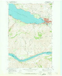
1968 · Chelan
USGS Topo · 1:24,000
1968 · Lamoine
USGS Topo · 1:24,000
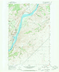
1968 · Chelan Falls
USGS Topo · 1:24,000
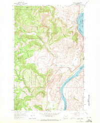
1968 · Azwell
USGS Topo · 1:24,000
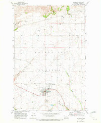
1968 · Waterville
USGS Topo · 1:24,000