Loading...
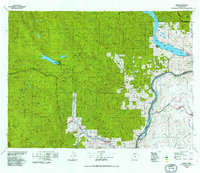
Loading map...1975 Map of Chelan
USGS Topo · Published 1991About this map
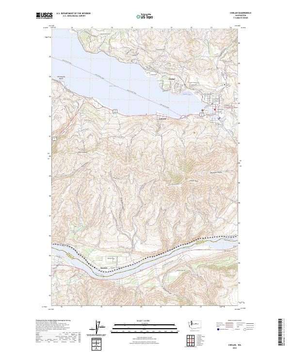
The Columbia River serves as the dominant geographical divide in this 1970s landscape, separating the high Waterville Plateau from the massive ridges of the Wenatchee Mountains and Entiat Mountains. Fruit-growing communities like Manson and Chelan are shown clustered near the lower reaches of Lake Chelan, while the Burlington Northern railroad traces the river valleys to connect towns such as Cashmere and Peshastin.
Find a feature on this map
76 named features on this map. Tap any name to fly to it.
Don’t see what you’re looking for? This feature index may not catch every label — zoom into the map to look around manually.
Map Details
Date Portrayed1975
Date Published1991
PublisherU.S. Geological Survey
Map TypeTopographic
Scale1:100,000
Physical Dimensions32 x 27.7 inches
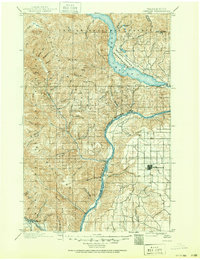
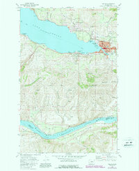
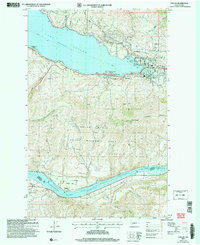
Editions of this 1975 Chelan Map
2 editions found

Historical Maps of Chelan Through Time
5 maps found
Featured Locations
Source Details
SourceU.S. Geological Survey
CopyrightPublic Domain