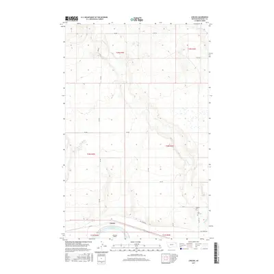
2017 Map of Chelsea
USGS Topo · Published 2017About this map
Chelsea sits at the southern edge of this Missouri River landscape, where the shifting river channel has created distinct landforms like Chelsea Island and the adjacent Chelsea Slough. The topography is defined by the winding course of Boxelder Cr, which cuts through the plains from the northwest before reaching the Missouri valley. This 2017 survey by the U.S. Geological Survey highlights the essential road network of the Poplar District, including Bia Rte 1 and Red Thunder Rd, which connect the rural landscape. For genealogists and local historians, the map provides precise locations for Saint Ann's Cem and Boxelder Cem, situated on the rising ground north of the river. The surrounding terrain is marked by smaller seasonal waterways like Little Badger Cr and Chelsea Cr, illustrating the drainage patterns of this eastern Montana prairie.
Find a feature on this map
25 named features on this map. Tap any name to fly to it.
Don’t see what you’re looking for? This feature index may not catch every label — zoom into the map to look around manually.
Map Details
Editions of this 2017 Chelsea Map
This is the sole edition of this map. No revisions or reprints were ever made.
Other maps of this area

1910 · Cuskers
USGS Topo · 1:62,500

1912 · Chelsea
USGS Topo · 1:62,500

1912 · Hay Creek
USGS Topo · 1:62,500

1912 · Poplar
USGS Topo · 1:62,500

1915 · Cuskers
USGS Topo · 1:62,500

1954 · Wolf Point
USGS Topo · 1:250,000

1958 · Wolf Point
USGS Topo · 1:250,000

1972 · Chelsea SW
USGS Topo · 1:24,000

1972 · Poplar
USGS Topo · 1:24,000

1972 · Chelsea
USGS Topo · 1:24,000