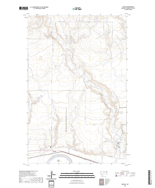
2024 Map of Chelsea
USGS Topo · Published 2024About this map
Chelsea sits at the southern edge of this Missouri River landscape, where the braided channels of the Chelsea Slough and the landform of Chelsea Island define the riparian environment. This 2024 survey documents a territory shaped by the winding course of Boxelder Creek, which meanders from the north to join the larger river system. The settlement patterns are Sparse, but the presence of three distinct burial grounds—Chelsea Cem, Box Elder Cem, and Saint Ann's Cem—indicates the deep-rooted local history and community ties in this part of Roosevelt County.
Find a feature on this map
25 named features on this map. Tap any name to fly to it.
Don’t see what you’re looking for? This feature index may not catch every label — zoom into the map to look around manually.
Map Details
Editions of this 2024 Chelsea Map
This is the sole edition of this map. No revisions or reprints were ever made.
Other maps of this area

1910 · Cuskers
USGS Topo · 1:62,500

1912 · Chelsea
USGS Topo · 1:62,500

1912 · Hay Creek
USGS Topo · 1:62,500

1912 · Poplar
USGS Topo · 1:62,500

1915 · Cuskers
USGS Topo · 1:62,500

1954 · Wolf Point
USGS Topo · 1:250,000

1958 · Wolf Point
USGS Topo · 1:250,000

1972 · Chelsea SW
USGS Topo · 1:24,000

1972 · Poplar
USGS Topo · 1:24,000

1972 · Chelsea
USGS Topo · 1:24,000