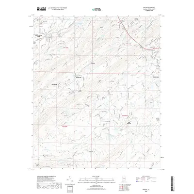
2018 Map of Chelsea
USGS Topo · Published 2018About this map
The ridge-and-valley topography of central Alabama is prominently displayed here, defined by the parallel elevations of Oak Mtn and New Hope Mtn. Residential expansion from Pelham and Chelsea increasingly reaches into the lower elevations, though the landscape remains dotted with historic markers of a more rural era. Numerous small family and community burial grounds, such as the Old Acton Cem and Poindexter-Vick Cem, are scattered across the terrain, serving as vital touchstones for genealogical research in Shelby County. Drainage patterns are complex, with the Cahaba Valley Cr and N Fork Yellowleaf Cr carving through the valleys between the prominent heights of Double Oak Mtn and Double Mtn. Small settlements like Simmsville, Watkins, and East Saginaw anchor the intersections of local county roads, preserving the names of established communities as the suburban footprint of the Birmingham-Hoover area continues to evolve.
Find a feature on this map
195 named features on this map. Tap any name to fly to it.
Don’t see what you’re looking for? This feature index may not catch every label — zoom into the map to look around manually.
Map Details
Editions of this 2018 Chelsea Map
This is the sole edition of this map. No revisions or reprints were ever made.
Other maps of this area

1890 · Bessemer
USGS Topo · 1:125,000

1892 · Bessemer
USGS Topo · 1:125,000

1905 · Bessemer Iron District
USGS Topo · 1:62,500

1906 · Vandiver
USGS Topo · 1:62,500

1907 · Bessemer Special
USGS Topo · 1:62,500

1908 · Vandiver
USGS Topo · 1:62,500

1909 · Columbiana
USGS Topo · 1:62,500

1910 · Montevallo
USGS Topo · 1:62,500

1911 · Columbiana
USGS Topo · 1:62,500

1953 · Birmingham
USGS Topo · 1:250,000