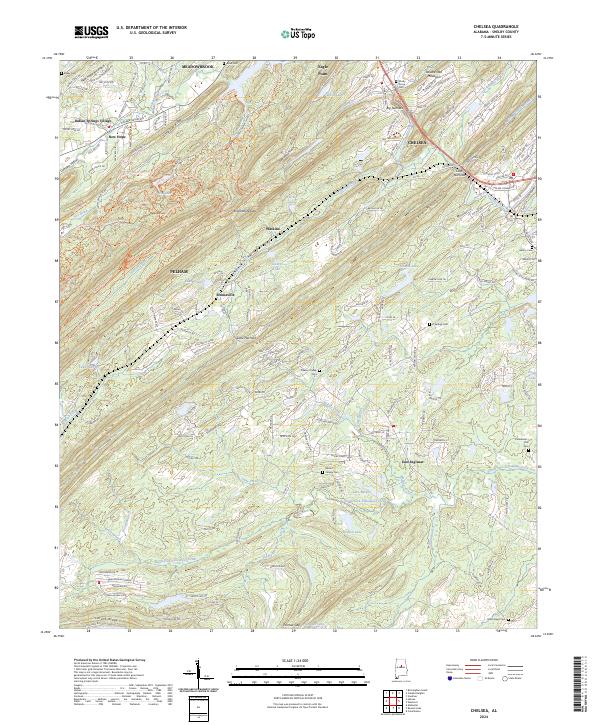
2024 Map of Chelsea
USGS Topo · Published 2024About this map
Oak Mountain and Double Mountain dominate this part of Shelby County, creating a series of narrow valleys that have shaped local development. This recent survey captures the modern expansion of communities like Chelsea and Meadowbrook, where residential growth is etched into the ridges of Little Oak Ridge and New Hope Mountain. Despite the increasing suburban density, the map preserves the locations of several community landmarks, including Shady Grove Cem and the Chelsea Station site.
Find a feature on this map
221 named features on this map. Tap any name to fly to it.
Don’t see what you’re looking for? This feature index may not catch every label — zoom into the map to look around manually.
Map Details
Editions of this 2024 Chelsea Map
This is the sole edition of this map. No revisions or reprints were ever made.
Other maps of this area

1890 · Bessemer
USGS Topo · 1:125,000

1892 · Bessemer
USGS Topo · 1:125,000

1905 · Bessemer Iron District
USGS Topo · 1:62,500

1906 · Vandiver
USGS Topo · 1:62,500

1907 · Bessemer Special
USGS Topo · 1:62,500

1908 · Vandiver
USGS Topo · 1:62,500

1909 · Columbiana
USGS Topo · 1:62,500

1910 · Montevallo
USGS Topo · 1:62,500

1911 · Columbiana
USGS Topo · 1:62,500

1953 · Birmingham
USGS Topo · 1:250,000