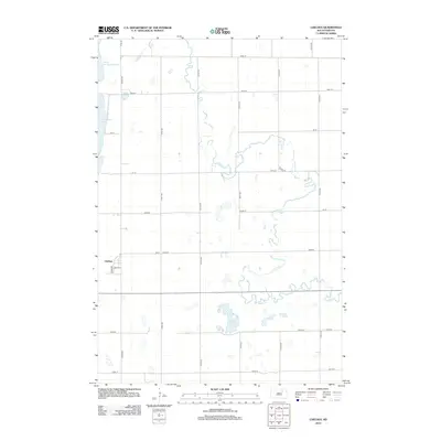
2012 Map of Chelsea
USGS Topo · Published 2012About this map
Chelsea sits at the southwestern edge of this Faulk County survey, oriented along the local grid of S Ford St and 3rd Ave E. The surrounding landscape is defined by the wandering path of Snake Cr, which meanders eastward across the prairie through a series of dramatic oxbows. This terrain is characteristic of the glaciated plains, where drainage is often interrupted by numerous small basins and larger permanent water bodies. To the northwest, the map captures the southern portion of North Scatterwood Lake and the expanse of Scatterwood Lake, while Alkali Lake occupies a central depression in the southern half of the quadrangle. A rigorous section-line road network, including 375th Ave and 153rd St, provides the primary transit framework through this agricultural region.
Find a feature on this map
27 named features on this map. Tap any name to fly to it.
Don’t see what you’re looking for? This feature index may not catch every label — zoom into the map to look around manually.
Map Details
Editions of this 2012 Chelsea Map
This is the sole edition of this map. No revisions or reprints were ever made.
Other maps of this area

1899 · Northville
USGS Topo · 1:125,000

1954 · Aberdeen
USGS Topo · 1:250,000

1956 · Aberdeen
USGS Topo · 1:250,000

1960 · Rudolph
USGS Topo · 1:24,000
1960 · Northville
USGS Topo · 1:24,000
1960 · Athol
USGS Topo · 1:24,000

1966 · Cresbard SE
USGS Topo · 1:24,000
1966 · Northville SW
USGS Topo · 1:24,000
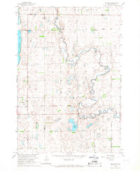
1966 · Chelsea
USGS Topo · 1:24,000
1966 · Cresbard NE
USGS Topo · 1:24,000