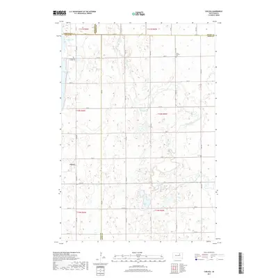
2017 Map of Chelsea
USGS Topo · Published 2017About this map
Chelsea anchors the western edge of this landscape, situated at the crossroads of a rural grid that spans the borders of Faulk, Edmunds, Brown, and Spink counties. The terrain is defined by a series of glacial depressions and winding waterways, most notably the meandering course of Snake Creek which cuts through the central and eastern sections. This prairie environment is dotted with significant water bodies, including N Scatterwood Lake, S Scatterwood Lake, and the isolated Alkali Lake. For those researching local heritage, the map identifies key community sites such as the Trinity Lutheran Cem in the northeast and the Scatterwood Lakeside Cem near the western shoreline. The intricate network of section roads like 153rd St and 155th St reveals a settlement pattern built around agricultural land divisions and natural drainage basins.
Find a feature on this map
22 named features on this map. Tap any name to fly to it.
Don’t see what you’re looking for? This feature index may not catch every label — zoom into the map to look around manually.
Map Details
Editions of this 2017 Chelsea Map
This is the sole edition of this map. No revisions or reprints were ever made.
Other maps of this area

1899 · Northville
USGS Topo · 1:125,000

1954 · Aberdeen
USGS Topo · 1:250,000

1956 · Aberdeen
USGS Topo · 1:250,000

1960 · Rudolph
USGS Topo · 1:24,000
1960 · Northville
USGS Topo · 1:24,000
1960 · Athol
USGS Topo · 1:24,000

1966 · Cresbard SE
USGS Topo · 1:24,000
1966 · Northville SW
USGS Topo · 1:24,000
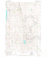
1966 · Chelsea
USGS Topo · 1:24,000
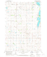
1966 · Cresbard NE
USGS Topo · 1:24,000