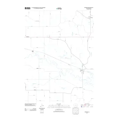
2013 Map of Chelsea
USGS Topo · Published 2013About this map
The Iowa River carves a meandering path through this portion of Tama County, creating a wide floodplain flanked by agricultural uplands. The town of Chelsea serves as a central hub, situated where the river bottom meets a network of local roads including Station St and Main St. Further north, the small settlement of Vining is positioned near the banks of Wolf Cr, while Gladstone sits to the west along a primary east-west transportation corridor. The landscape is defined by its drainage systems, with numerous tributaries such as Otter Cr, Richland Cr, and the curiously named Plague Mine Cr feeding into the main river valley. This 2013 survey illustrates a rural Iowa landscape where small-town life and farming are intimately tied to the river's course, evidenced by scattered locales like Helena, Haven, and Long Point.
Find a feature on this map
54 named features on this map. Tap any name to fly to it.
Don’t see what you’re looking for? This feature index may not catch every label — zoom into the map to look around manually.
Map Details
Editions of this 2013 Chelsea Map
This is the sole edition of this map. No revisions or reprints were ever made.
Other maps of this area

1954 · Waterloo
USGS Topo · 1:250,000

1954 · Des Moines
USGS Topo · 1:250,000

1955 · Waterloo
USGS Topo · 1:250,000

1956 · Des Moines
USGS Topo · 1:250,000

1957 · Des Moines
USGS Topo · 1:250,000

1968 · Belle Plaine SW
USGS Topo · 1:24,000

1968 · Belle Plaine
USGS Topo · 1:24,000

1968 · Chelsea
USGS Topo · 1:24,000

1968 · Hartwick
USGS Topo · 1:24,000

1969 · Des Moines
USGS Topo · 1:250,000