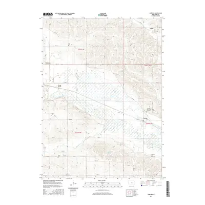
2015 Map of Chelsea
USGS Topo · Published 2015About this map
Chelsea sits at the intersection of the Iowa River valley and a series of rural corridors in southern Tama County. This 2015 survey documents a landscape defined by its riverine geography and a dense network of local cemeteries that reflect the area's genealogical history, including the Independent Order of Odd Fellows Cem and Saint Josephs Cem. To the south, Rainbow Lake and Richland Creek mark the transition into the agricultural uplands, while small hamlets like Vining, Haven, and Helena anchor the surrounding townships. The map illustrates how modern county roads such as Co RD e66 and Co RD e64 follow the established paths of earlier settlements, connecting family landmarks like Stayskal Cem and Hayes Cem to the region's central river valley commerce.
Find a feature on this map
41 named features on this map. Tap any name to fly to it.
Don’t see what you’re looking for? This feature index may not catch every label — zoom into the map to look around manually.
Map Details
Editions of this 2015 Chelsea Map
This is the sole edition of this map. No revisions or reprints were ever made.
Other maps of this area

1954 · Waterloo
USGS Topo · 1:250,000

1954 · Des Moines
USGS Topo · 1:250,000

1955 · Waterloo
USGS Topo · 1:250,000

1956 · Des Moines
USGS Topo · 1:250,000

1957 · Des Moines
USGS Topo · 1:250,000

1968 · Belle Plaine SW
USGS Topo · 1:24,000

1968 · Belle Plaine
USGS Topo · 1:24,000

1968 · Chelsea
USGS Topo · 1:24,000

1968 · Hartwick
USGS Topo · 1:24,000

1969 · Des Moines
USGS Topo · 1:250,000