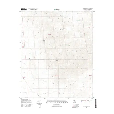
2015 Map of Chemehuevi Peak
USGS Topo · Published 2015About this map
Chemehuevi Peak stands as the central landmark of this high-desert landscape in the Mojave Desert region. This 2015 USGS survey documents a terrain defined by significant elevation changes and seasonal watercourses, most notably the wide drainage of Trampas Wash carving through the northern sections. While the land is largely undeveloped, the presence of Studio Spring suggests a critical water source in an otherwise arid environment. The southern portion of the quadrangle transitions into the Chemehuevi Valley, where Havasu Lake Rd serves as the primary artery for travel. For those studying the geography of eastern San Bernardino County, the map provides a clear record of the relationship between the dramatic ridges of the Sawtooth Range and the alluvial plains below.
Find a feature on this map
13 named features on this map. Tap any name to fly to it.
Don’t see what you’re looking for? This feature index may not catch every label — zoom into the map to look around manually.
Map Details
Editions of this 2015 Chemehuevi Peak Map
This is the sole edition of this map. No revisions or reprints were ever made.
Other maps of this area

1903 · Needles
USGS Topo · 1:125,000

1904 · Needles Special
USGS Topo · 1:125,000

1911 · Parker
USGS Topo · 1:125,000

1943 · Topock
USGS Topo · 1:62,500

1943 · Whipple Mts.
USGS Topo · 1:62,500

1950 · Topock
USGS Topo · 1:62,500

1950 · Sawtooth Range
USGS Topo · 1:62,500

1950 · Whipple Mts
USGS Topo · 1:62,500

1950 · Savahia Peak
USGS Topo · 1:62,500

1951 · Topock
USGS Topo · 1:62,500