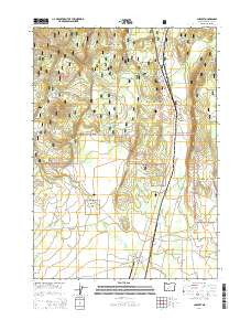
2014 Map of Chemult
USGS Topo · Published 2014About this map
Chemult sits as a central hub in this high-desert landscape, located within the expansive Winema National Forest. The settlement is closely tied to the transportation corridor of Us-97 and The Dalles-California Hwy, which run parallel to the eastern edge of the forest. To the south, the Beaver Marsh State Airport serves this isolated region, while a gas pipeline and a local Cinder Pit reflect the infrastructure and industrial activity of the mid-20th century. The terrain is marked by significant elevations like Deer Butte and the prominent Walker Rim that towers over the eastern flats. Water sources are vital but scattered, represented by Murphy Spring, Red Bone Spring, and the winding courses of Deer Cr and Miller Cr. This map documents a managed forest environment where timber access roads like Pole Rd and Nat For Dev Rd 9771 weave through the volcanic geography.
Find a feature on this map
22 named features on this map. Tap any name to fly to it.
Don’t see what you’re looking for? This feature index may not catch every label — zoom into the map to look around manually.
Map Details
Editions of this 2014 Chemult Map
This is the sole edition of this map. No revisions or reprints were ever made.
Other maps of this area

1935 · Chemult
USGS Topo · 1:96,000

1941 · Chemult
USGS Topo · 1:125,000

1955 · Crescent
USGS Topo · 1:250,000

1957 · Crescent
USGS Topo · 1:250,000

1958 · Crescent
USGS Topo · 1:250,000
1967 · Burn Butte
USGS Topo · 1:24,000
1967 · Chemult
USGS Topo · 1:24,000
1967 · Muttonchop Butte
USGS Topo · 1:24,000
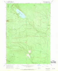
1967 · Miller Lake
USGS Topo · 1:24,000
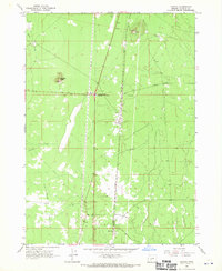
1967 · Mazama
USGS Topo · 1:24,000