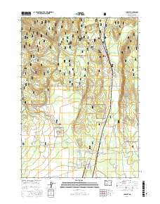
2017 Map of Chemult
USGS Topo · Published 2017About this map
Chemult serves as a central hub for this high-altitude landscape within the Winema National Forest, where a complex network of forest development roads and specialized loops indicates a heavy reliance on timber management and outdoor recreation. The terrain is defined by volcanic features like Walker Rim and Deer Butte, while water sources such as Red Cone Spring and Murphy Spring break the dry volcanic soil. The presence of Beaver Marsh State Airport near Beaver Marsh highlights the importance of aviation for fire monitoring and remote access in this part of the Oregon Cascades. Traces of local industry appear at the Cinder Pit and along the Gas Pipeline, which cuts through the forest south of Jill's Hill. This map documents a modern era of forest service infrastructure, from the Deer Creek Loop to specialized recreation paths like Twinkle Loop and Twisted Pine.
Find a feature on this map
35 named features on this map. Tap any name to fly to it.
Don’t see what you’re looking for? This feature index may not catch every label — zoom into the map to look around manually.
Map Details
Editions of this 2017 Chemult Map
This is the sole edition of this map. No revisions or reprints were ever made.
Other maps of this area

1935 · Chemult
USGS Topo · 1:96,000

1941 · Chemult
USGS Topo · 1:125,000

1955 · Crescent
USGS Topo · 1:250,000

1957 · Crescent
USGS Topo · 1:250,000

1958 · Crescent
USGS Topo · 1:250,000
1967 · Burn Butte
USGS Topo · 1:24,000
1967 · Chemult
USGS Topo · 1:24,000
1967 · Muttonchop Butte
USGS Topo · 1:24,000
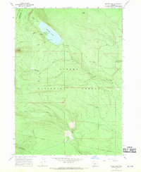
1967 · Miller Lake
USGS Topo · 1:24,000
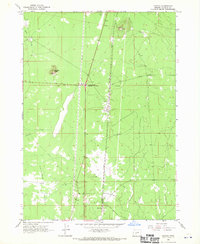
1967 · Mazama
USGS Topo · 1:24,000