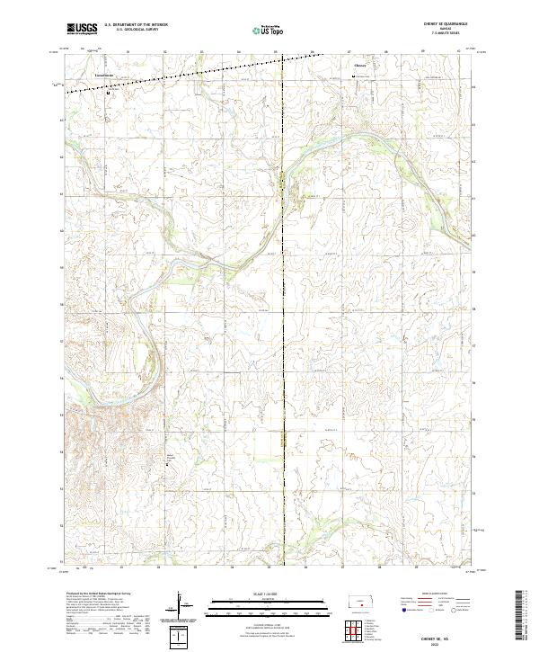
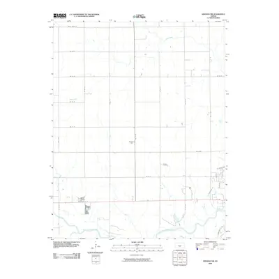
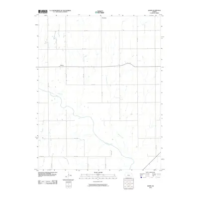
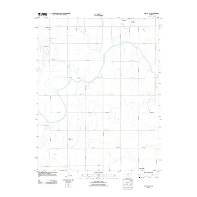
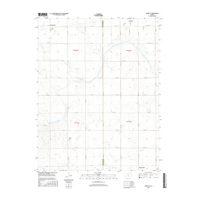
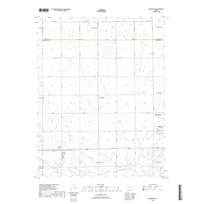
2022 Map of Cheney SE
USGS Topo · Published 2022About this map
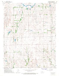
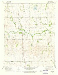
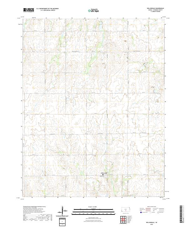
The South Fork Ninnescah River meanders across this landscape, defining the transition between Kingman and Sedgwick counties. Small farming settlements and historical burial grounds are interspersed among the section lines of this rural Kansas interior. To the north, the outskirts of Cheney sit near Fairview Cem, while the small cluster of Lansdowne and Vinita Cem occupy the northwestern corner. The terrain is deeply etched by a network of drainage systems, including Smoots Cr, Fish Cr, and Jocelyn Cr, which feed into the primary river valley. For local historians, the placement of Mount Pleasant Cem in the southwestern quadrant provides a specific point of reference for early rural communities that relied on the fertile bottomlands of the Ninnescah and its numerous tributaries.
Find a feature on this map
47 named features on this map. Tap any name to fly to it.
Don’t see what you’re looking for? This feature index may not catch every label — zoom into the map to look around manually.
Map Details
Editions of this 2022 Cheney SE Map
This is the sole edition of this map. No revisions or reprints were ever made.
Historical Maps of Cheney Through Time
54 maps found
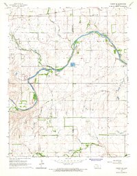
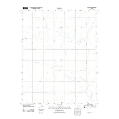
1965 Cheney SE
Kingman County, KS
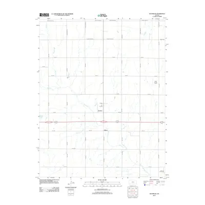
1965 Waterloo
Kingman County, KS
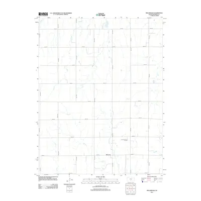
1966 St Leo
Kingman County, KS

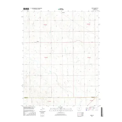
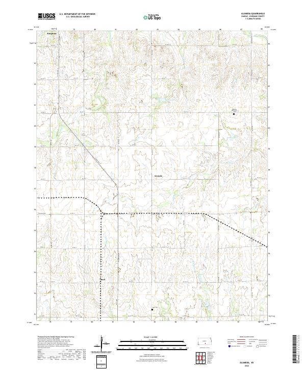
1967 Alameda
Kingman County, KS
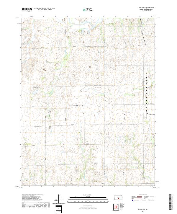
1967 Cleveland
Kingman County, KS
1967 Kingman NW
Kingman County, KS
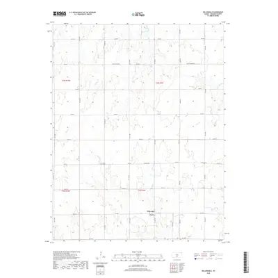
1967 Willowdale
Kingman County, KS
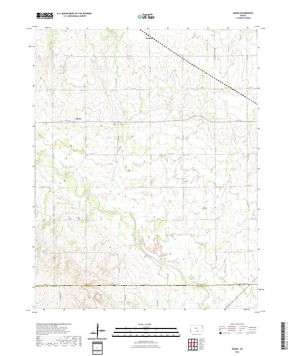
1971 Adams
Kingman County, KS
1973 Rago
Kingman County, KS
2009 Alameda
Kingman County, KS
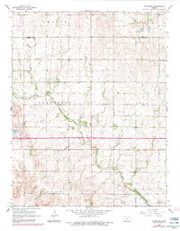
2009 Cheney SE
Kingman County, KS
2009 Cleveland
Kingman County, KS
2009 Kingman NW
Kingman County, KS
2009 Saint Leo
Kingman County, KS
2009 Waterloo
Kingman County, KS
2009 Willowdale
Kingman County, KS
2010 Adams
Kingman County, KS
2010 Rago
Kingman County, KS
2012 Adams
Kingman County, KS
2012 Alameda
Kingman County, KS
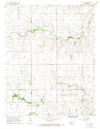
2012 Cheney SE
Kingman County, KS
2012 Cleveland
Kingman County, KS
2012 Kingman NW
Kingman County, KS
2012 Rago
Kingman County, KS
2012 Saint Leo
Kingman County, KS
2012 Waterloo
Kingman County, KS
2012 Willowdale
Kingman County, KS
2015 Adams
Kingman County, KS
2015 Cheney SE
Kingman County, KS
2015 Kingman NW
Kingman County, KS
2015 Saint Leo
Kingman County, KS
2015 Waterloo
Kingman County, KS
2015 Willowdale
Kingman County, KS
2016 Alameda
Kingman County, KS
2016 Cleveland
Kingman County, KS
2016 Rago
Kingman County, KS
2018 Adams
Kingman County, KS
2018 Alameda
Kingman County, KS
2018 Cheney SE
Kingman County, KS
2018 Cleveland
Kingman County, KS
2018 Kingman NW
Kingman County, KS
2018 Rago
Kingman County, KS
2018 Saint Leo
Kingman County, KS
2018 Waterloo
Kingman County, KS
2018 Willowdale
Kingman County, KS
2022 Adams
Kingman County, KS
2022 Alameda
Kingman County, KS
2022 Cheney SE
Kingman County, KS
2022 Cleveland
Kingman County, KS
2022 Kingman NW
Kingman County, KS
2022 Rago
Kingman County, KS
2022 Saint Leo
Kingman County, KS
2022 Waterloo
Kingman County, KS
2022 Willowdale
Kingman County, KS