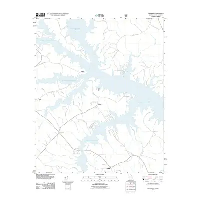
2011 Map of Chennault
USGS Topo · Published 2011About this map
The vast reaches of the J. Strom Thurmond Reservoir dominate this landscape on the Georgia-South Carolina border, where the flooded valleys of Patterson Creek and Newford Creek create a complex, branching shoreline. Small, established settlements like Lisbon and Chennault sit atop the remaining high ground, connected by a network of winding roads such as Graball Rd and Hester S Ferry Rd. The influence of the Savannah River's impoundment is evident in the transition from traditional farming communities to recreational spaces, including the Mount Carmel Campground. Local history and genealogy are preserved at the Midway Cemetery near the settlement of Midway, while smaller points like Graball and Honora represent the enduring rural character of Lincoln County. The presence of the Francis Lake Dam further illustrates the sophisticated water management and land use patterns that define this riverine environment in the early twenty-first century.
Find a feature on this map
53 named features on this map. Tap any name to fly to it.
Don’t see what you’re looking for? This feature index may not catch every label — zoom into the map to look around manually.
Map Details
Editions of this 2011 Chennault Map
This is the sole edition of this map. No revisions or reprints were ever made.
Other maps of this area

1892 · Mc Cormick
USGS Topo · 1:125,000

1892 · Abbeville
USGS Topo · 1:125,000

1893 · Elberton
USGS Topo · 1:125,000

1906 · Crawfordville
USGS Topo · 1:125,000

1912 · Mc Cormick
USGS Topo · 1:125,000

1949 · Calhoun Creek
USGS Topo · 1:24,000

1953 · Athens
USGS Topo · 1:250,000

1954 · Metasville
USGS Topo · 1:24,000

1954 · Greenville
USGS Topo · 1:250,000

1955 · Tignall
USGS Topo · 1:24,000