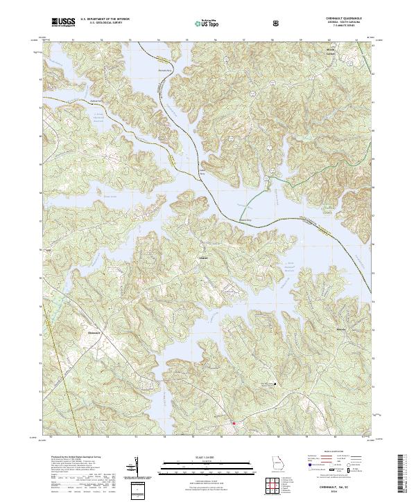
2024 Map of Chennault
USGS Topo · Published 2024About this map
The Savannah River and the expansive J. Strom Thurmond Reservoir dominate this Georgia-South Carolina borderland, where the historic river crossing culture is still preserved in names like Hesters Ferry, Morrahs Ferry, and Cades Ferry. The landscape is a mosaic of public timberlands within the Sumter National Forest and small settlements such as Chennault and Graball. Local genealogy and community history are anchored by landmarks like the New Tabernacle Baptist Church and its associated Cem, alongside the landing at Modock Lndg. This modern survey illustrates how 20th-century water management projects transformed the original river valley into a complex network of inlets and points, including Pistol Creek and Fishing Creek, which now define the geography for local residents and recreationists in Lincoln and McCormick counties.
Find a feature on this map
79 named features on this map. Tap any name to fly to it.
Don’t see what you’re looking for? This feature index may not catch every label — zoom into the map to look around manually.
Map Details
Editions of this 2024 Chennault Map
This is the sole edition of this map. No revisions or reprints were ever made.
Other maps of this area

1892 · Mc Cormick
USGS Topo · 1:125,000

1892 · Abbeville
USGS Topo · 1:125,000

1893 · Elberton
USGS Topo · 1:125,000

1906 · Crawfordville
USGS Topo · 1:125,000

1912 · Mc Cormick
USGS Topo · 1:125,000

1949 · Calhoun Creek
USGS Topo · 1:24,000

1953 · Athens
USGS Topo · 1:250,000

1954 · Metasville
USGS Topo · 1:24,000

1954 · Greenville
USGS Topo · 1:250,000

1955 · Tignall
USGS Topo · 1:24,000